The Marlborough Sounds & Queen Charlotte Track
The Sounds, and the track that runs through them
Picton is a harbour town first, and the harbour is the point: it sits at the head of a vast network of drowned valleys, and just offshore begins one of New Zealand’s best-known multi-day walks.
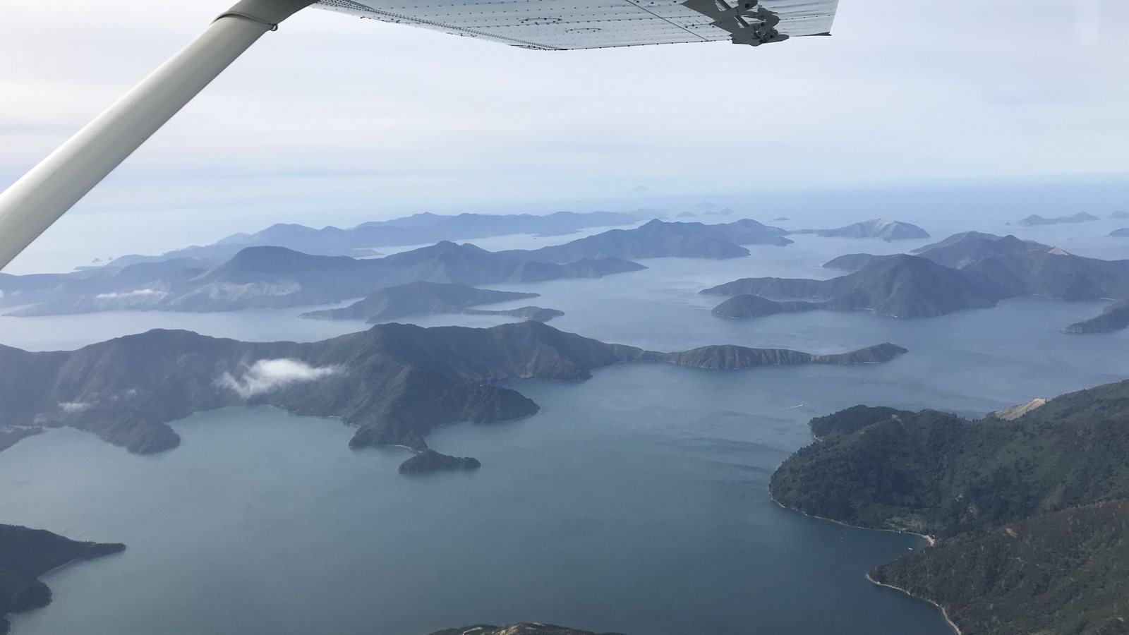
The Marlborough Sounds
The Marlborough Sounds are what geographers call a drowned valley system — a network of river valleys that flooded as sea levels rose and the land subsided, leaving a deeply indented coastline of narrow inlets, forested ridgelines and hundreds of small bays. The whole system covers something like 4,000 square kilometres of sounds, islands and peninsulas between Tasman Bay and Cloudy Bay, and its coastline is disproportionately long relative to its area — a large share of the entire South Island’s coastline is folded into this one corner of it.
“The Marlborough Sounds” is a broad regional name covering several named sounds — Queen Charlotte Sound / Tōtaranui, where Picton sits, is generally reckoned the largest, with Pelorus Sound / Te Hoiere and Kenepuru Sound also commonly named among the main ones. Much of the outer Sounds has no road access at all: getting around means going by water.
Queen Charlotte Sound / Tōtaranui
Picton sits near the head of Queen Charlotte Sound, officially known by its dual name Queen Charlotte Sound / Tōtaranui since a 2014 Treaty settlement with Tē Ātiawa — Tōtaranui referring to the tōtara trees once prominent here, Queen Charlotte the name Captain Cook gave it for the British queen consort. The sound runs from the open sea at Cook Strait deep inland, and it’s this sheltered water that both the Cook Strait ferries and the Queen Charlotte Track follow for their final and first stretches respectively.
The Queen Charlotte Track
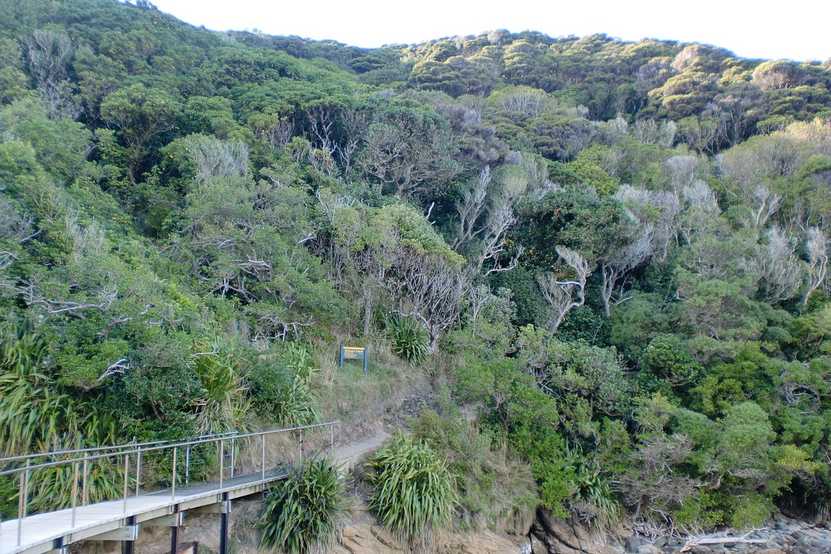
The Queen Charlotte Track runs 73.5 km one way, from Meretoto / Ship Cove in the outer sound to Anakiwa, further inland — a distance confirmed by both the Department of Conservation and the track’s own managing organisation. Unusually for a well-known New Zealand track, it isn’t run by DOC alone: it’s a partnership between DOC, Marlborough District Council and private landowners, since long stretches cross private farmland and forestry blocks between the public conservation land at either end.
Because of that mixed ownership, a Queen Charlotte Track Land Cooperative (QCTLC) pass is required to walk or ride the sections of private land between Kenepuru Saddle, Torea Saddle, Te Mahia Saddle and Anakiwa — separate from, and in addition to, any DOC campsite fees. Passes are sold by the QCTLC directly.
The track’s own published guidance puts a full walk at 3–5 days, or 2–3 days to ride it by mountain bike (it’s also an official Ngā Haerenga New Zealand Cycle Trail “Great Ride”). Plenty of people also walk or ride shorter sections and use a water taxi to get on and off partway — the track has enough jetties and bays along its length to make that straightforward.
Track information & QCTLC pass
Route overview, current conditions and pass purchase.
DOC track page
The Department of Conservation’s own page for the track, campsites and area.
Meretoto / Ship Cove
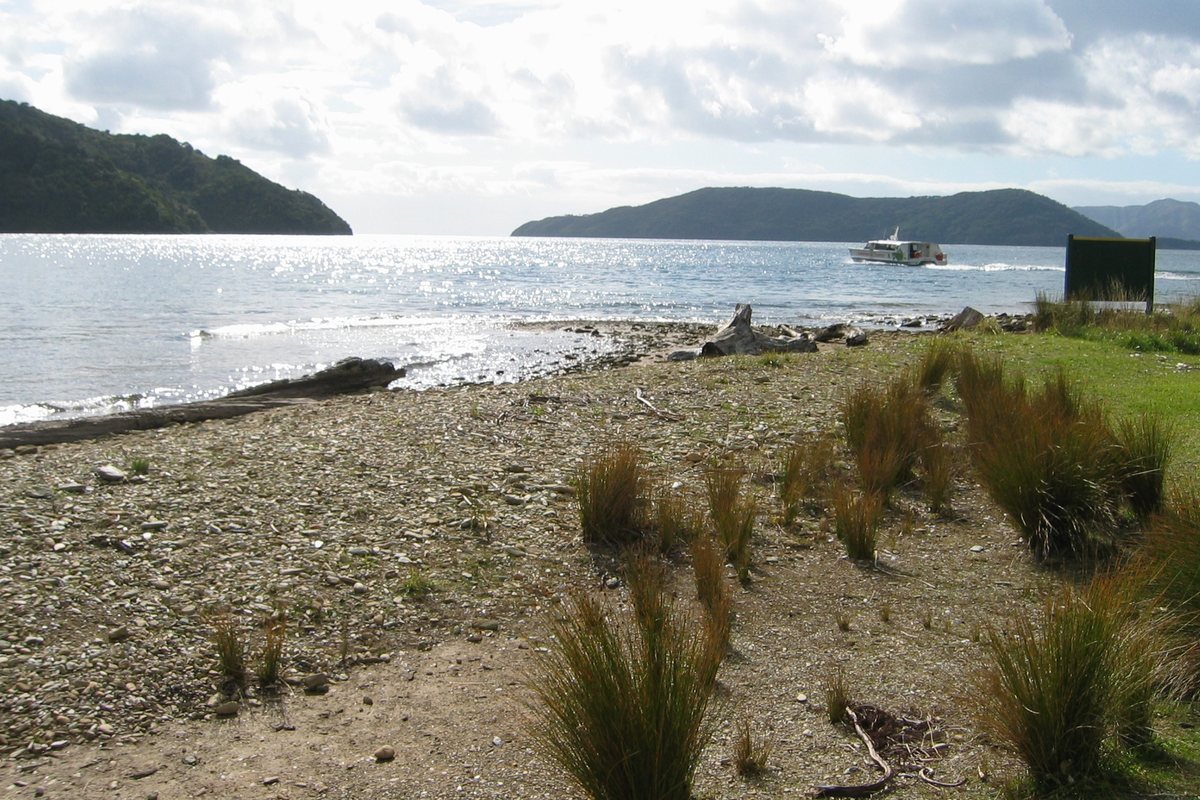
The track’s northern end, Meretoto / Ship Cove, is a place of real historical weight: Captain Cook anchored here on all three of his voyages to New Zealand in the 1770s, the only site in the country he returned to every time, and by DOC’s reckoning spent more than half of his total time in New Zealand at this one cove. It became New Zealand’s first historic reserve in 1896 and remains DOC-managed, with monuments to Cook and pouwhenua representing Kupe and local iwi at the site today.
Captain Cook anchored here on all three of his voyages to New Zealand in the 1770s — the only site in the country he returned to every time.
Ship Cove has no road in or out. Reaching it — whether to start the full track, or just to visit — almost always means a water taxi from Picton.
Getting onto the water
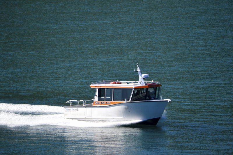
A small fleet of Picton-based water taxi operators services the Sounds generally and the Queen Charlotte Track specifically — dropping walkers and riders at the trailhead, picking up partway along, and running general transport to bays and lodges that have no road access at all. Listed alphabetically, with no ranking implied:
- Beachcomber Cruises — beachcombercruises.co.nz
- Cougar Line — cougarline.co.nz
- Picton Water Taxis — pictonwatertaxis.co.nz
We don’t list schedules or prices here, as both vary by season and route — check directly with an operator for current sailings.
Camping and staying on the track
There are no DOC huts on the Queen Charlotte Track. DOC maintains six campsites along its length, each with toilets and a water supply, and camping must be booked online in advance year-round. Away from the DOC sites, a number of privately-run lodges along the track offer an alternative to camping — see Where to Stay for the general pattern of Sounds-based accommodation.
Conditions and safety
Before you go
DOC notes that conditions in the Sounds can change quickly, particularly on the water — check a marine forecast before any water taxi trip or kayak outing. Fire restrictions apply across the area year-round, tap water generally needs treating before drinking, and DOC flags a wasp-allergy risk in late summer and autumn. None of this is unusual for New Zealand backcountry, but it’s worth reading DOC’s own safety notes before you set out.
Common questions
How long is the Queen Charlotte Track?
DOC and the track's own managing organisation both give 73.5 km one way, from Meretoto / Ship Cove to Anakiwa.
Do I need a pass to walk or ride it?
Yes, for the sections crossing private land — a Queen Charlotte Track Land Cooperative (QCTLC) pass is required between Kenepuru Saddle and Anakiwa. It's separate from any DOC campsite fees.
How do I get to the start?
Ship Cove has no road access. Almost everyone reaches it by a water taxi from Picton, which is also how most people leave the track partway if they're not doing the whole thing.
How many days does it take?
The track's own guidance is 3–5 days to walk the full length, or 2–3 days to ride it by mountain bike.
Sources: Department of Conservation; qctrack.co.nz; QCTLC; Ngā Haerenga New Zealand Cycle Trail; Wikipedia. Full list on the sources page.