
Activity
Scenic flights
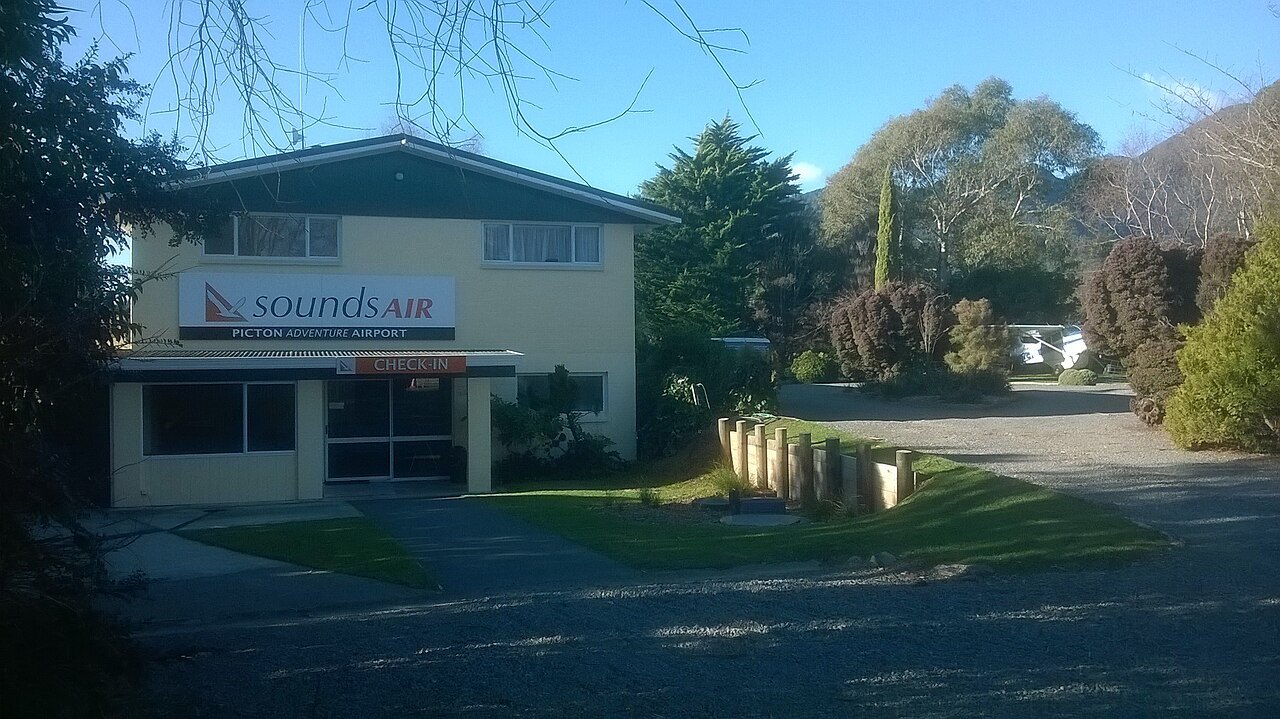
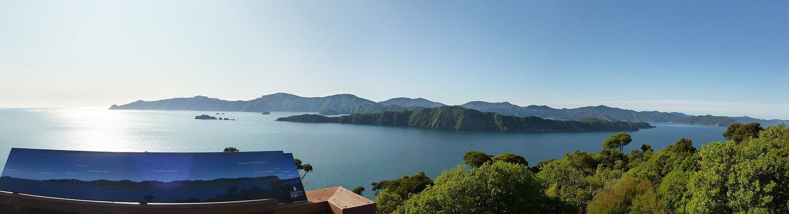
The Sounds from above — fixed-wing from Picton Aerodrome at Koromiko, helicopters from Blenheim.
Photo: Schwede66 / Wikimedia Commons, CC BY-SA 4.0
Pelorus Air flies scenic trips over the Marlborough Sounds from Picton Aerodrome; Precision Helicopters runs scenic and heli-lunch flights to Sounds lodges from Omaka, Blenheim.
At a glance
- Cost
- See operators
- Departs from
- Picton Aerodrome, Koromiko (Pelorus Air); Omaka Airport, Blenheim (Precision Helicopters)
About Scenic flights
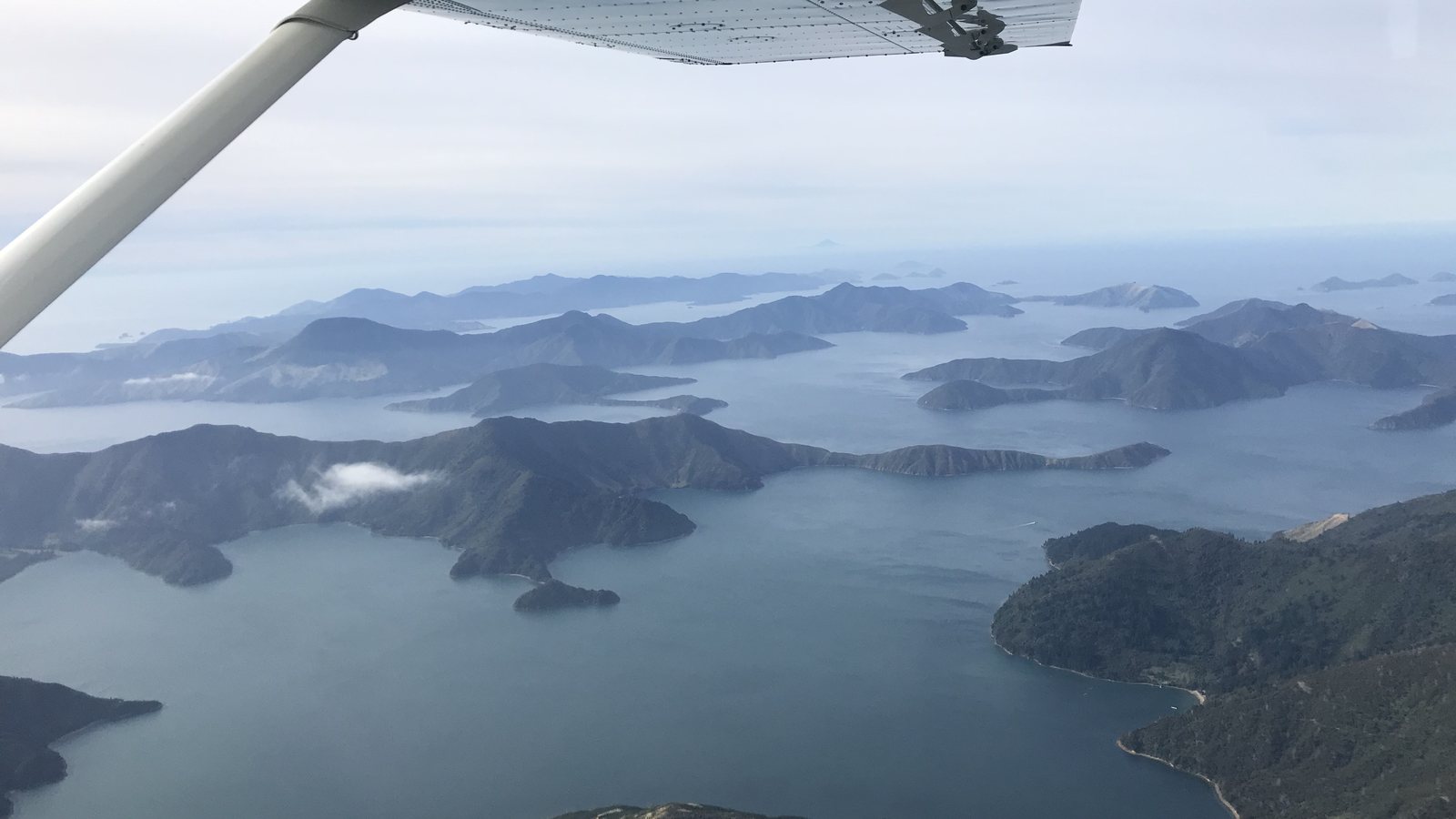
The drowned-valley shape of the Sounds only fully makes sense from the air, which is the case for a flight. Pelorus Air is the Picton-side operator, flying from the aerodrome at Koromiko on the road to Blenheim.
Operators
Listed alphabetically by category, with no ranking implied. Each was confirmed as trading from its own website on the date shown at the foot of this page; prices, departure times and seasons change, so follow the link for current detail.
- Pelorus Air — Scenic flights over the Sounds for 2–15 passengers, aerial photography, charters and remote-airstrip drop-offs for trampers. Picton Aerodrome, Koromiko. pelorusair.com
- Precision Helicopters — Scenic and heli-lunch flights into Sounds lodges, D'Urville Island and Abel Tasman. Based at Omaka, Blenheim; serves Picton. precisionhelicopters.nz/scenic-flights
Know before you go
- Both bases are a drive from Picton township.
Photographs
Sources for this page
Location: OpenStreetMap contributors via Nominatim (Picton Aerodrome, Koromiko; feature).
Facts on this page were checked against the sources listed on 29 September 2026.
Something wrong or out of date? Tell us.
Nearby
Straight-line distances from Picton Aerodrome, Koromiko.

