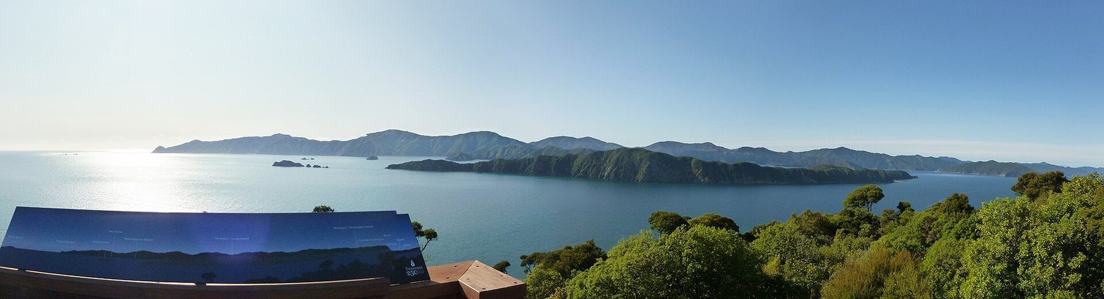
Queen Charlotte Track
73.5 km of ridgeline and bay from Meretoto / Ship Cove to Anakiwa — walked in 3–5 days, ridden in 2–3, or sampled in a day by water taxi.

The Marlborough Sounds
Picton sits at the head of Queen Charlotte Sound / Tōtaranui, at the edge of a vast network of drowned valleys. Almost none of it has a road. Here is how it fits together, and how to get into it.
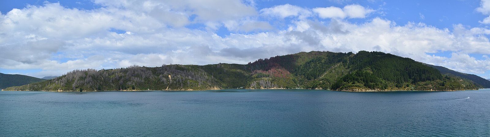
Photo: Pseudopanax / Wikimedia Commons, Public domain
Published
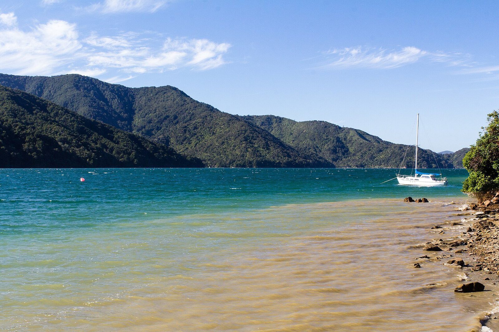
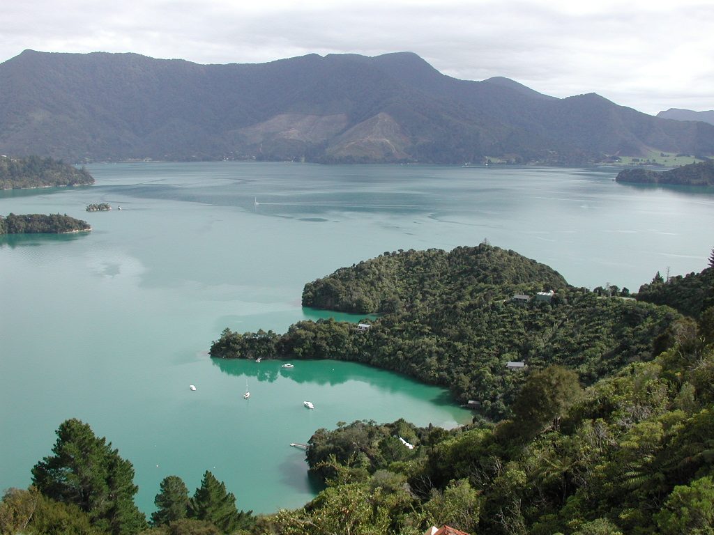
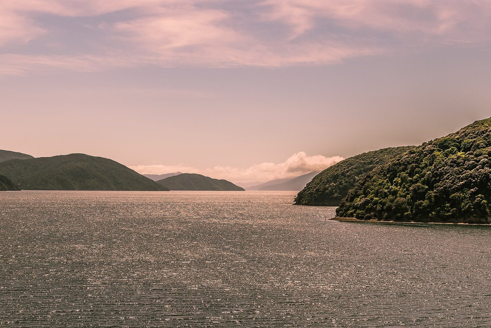
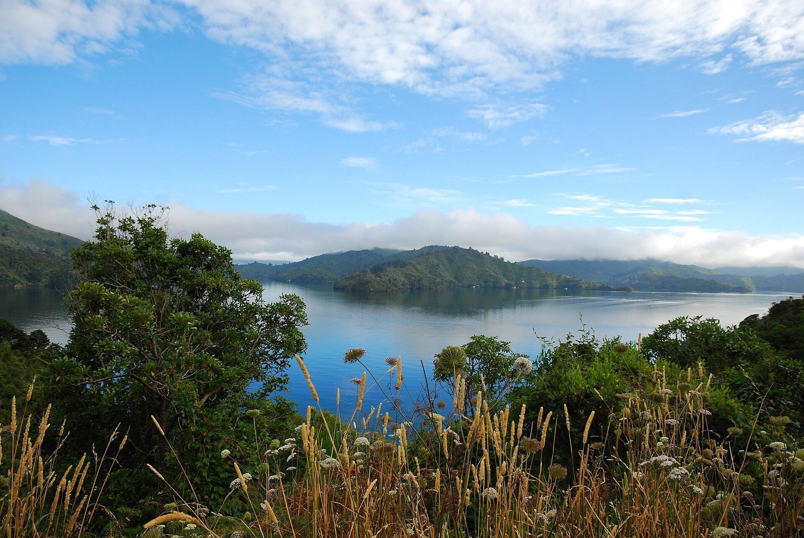
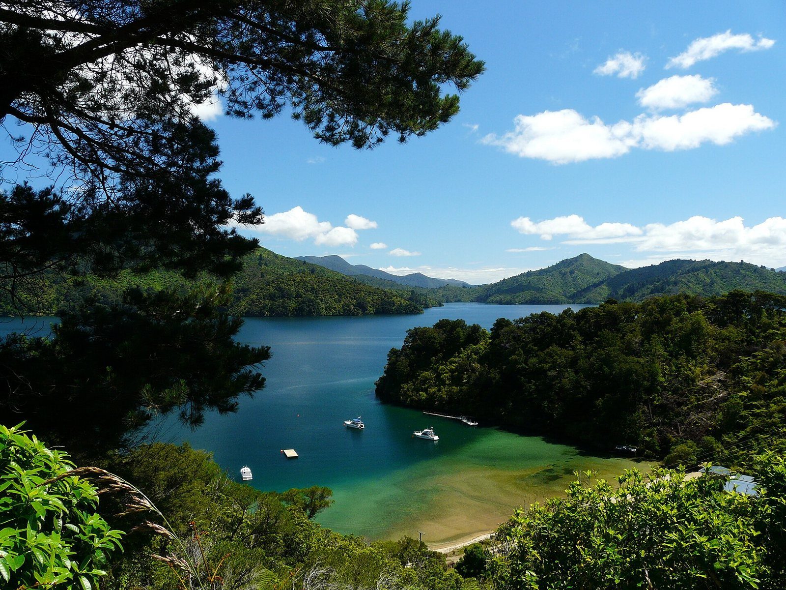
The Marlborough Sounds are what geographers call a drowned valley system — a network of river valleys that flooded as sea levels rose and the land subsided, leaving a deeply indented coastline of narrow inlets, forested ridgelines and hundreds of small bays. The whole system covers something like 4,000 square kilometres of sounds, islands and peninsulas between Tasman Bay and Cloudy Bay, and a large share of the entire South Island’s coastline is folded into this one corner of it.
“The Marlborough Sounds” covers several named sounds. Queen Charlotte Sound / Tōtaranui, where Picton sits, is generally reckoned the largest; Pelorus Sound / Te Hoiere (with Havelock at its head), Kenepuru Sound and Mahau Sound make up the rest. Picton is the gateway because it is the ferry terminus, the main water-taxi base and a cruise port: if you are going into the Sounds without your own boat, you almost certainly leave from here.
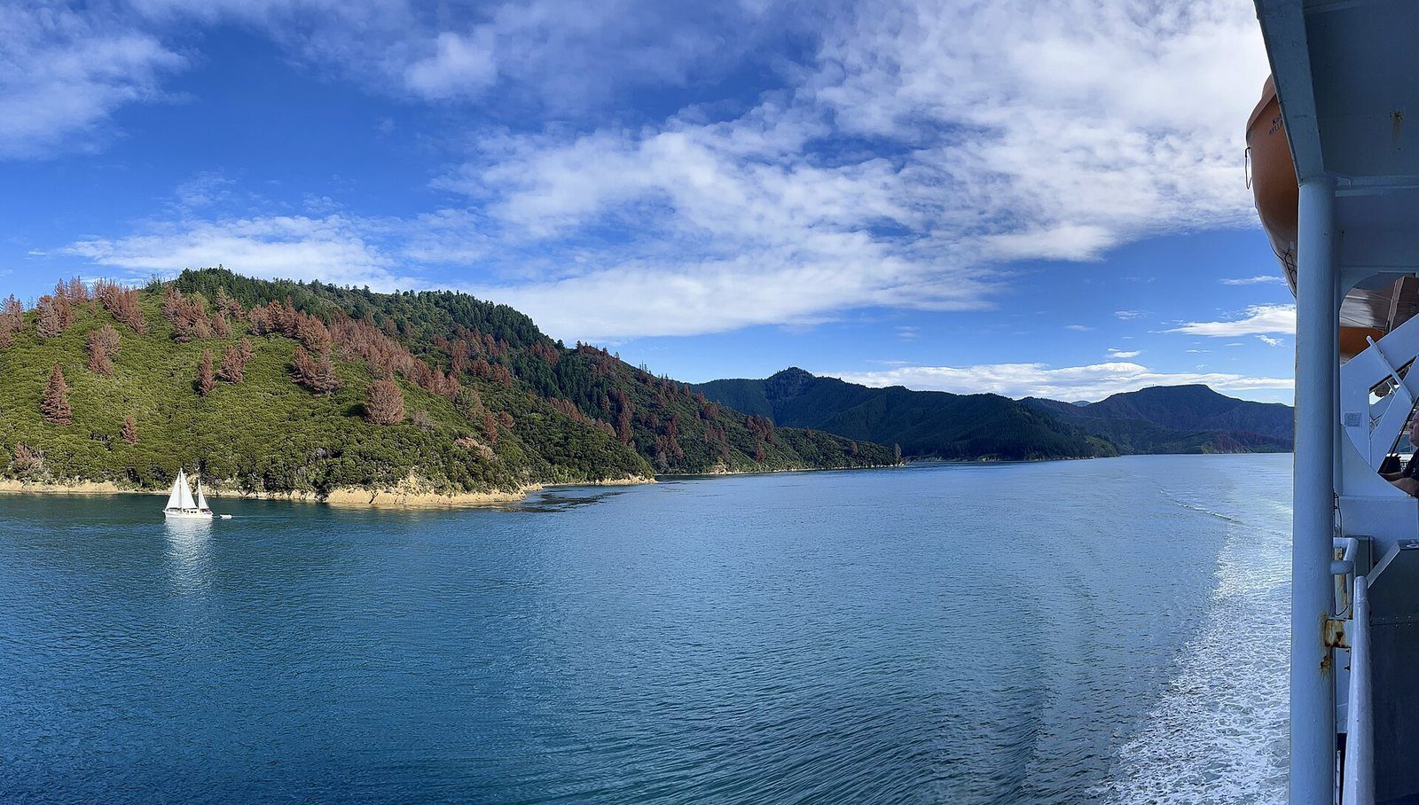
The sound has carried its dual name since a 2014 Treaty settlement with Te Ātiawa — Tōtaranui for the tōtara trees once prominent here, Queen Charlotte the name Captain Cook gave it. It runs from the open sea at Cook Strait deep inland to Picton and Anakiwa, and this sheltered water is what both the Cook Strait ferries and the Queen Charlotte Track follow for their final and first stretches respectively. Tory Channel, the ferries’ short cut in from the strait, is a major arm of it.
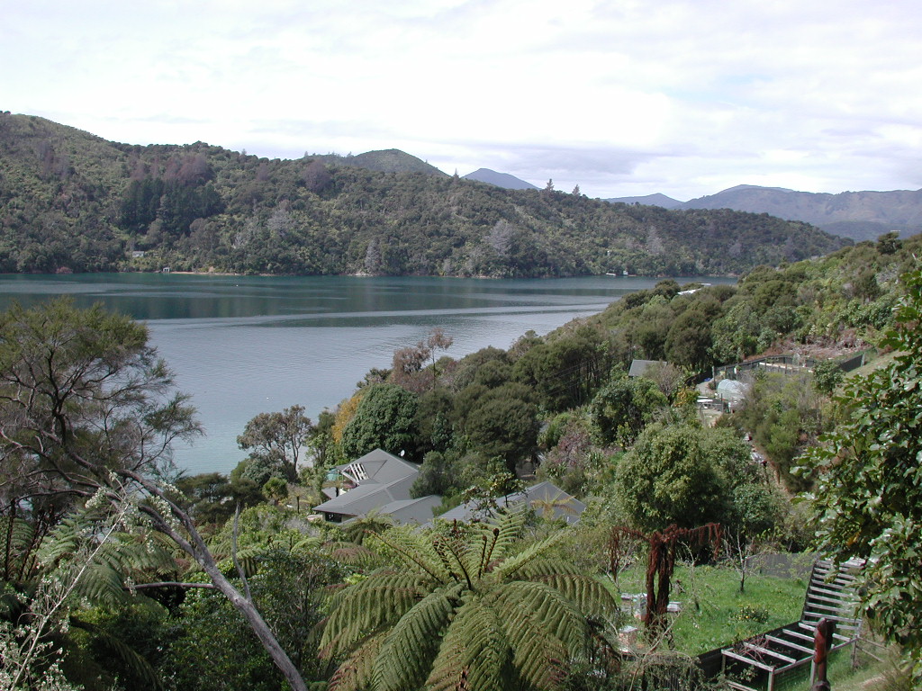
A distinct tier of accommodation sits out in the Sounds with no road access at all — lodges and retreats reached only by water taxi from Picton (or Havelock). If you book one, the boat transfer is part of the plan, not an add-on. Where to stay →
DOC notes that conditions in the Sounds change quickly, particularly on the water — check a marine forecast before any boat or kayak trip. Fire restrictions apply across the area year-round, tap water generally needs treating, and DOC flags a wasp-allergy risk in late summer and autumn.
By boat: scenic cruises and the mail-boat run leave the foreshore; water taxis go to the Queen Charlotte Track, Ship Cove and Motuara Island. By road: Queen Charlotte Drive follows the Grove Arm toward Anakiwa with lookouts over the sound. On foot: the Snout Track and Tirohanga give the views from above town.
DOC and the track's own managing organisation both give 73.5 km one way, from Meretoto / Ship Cove to Anakiwa; DOC's own section table sums to 71 km.
Yes, for the sections crossing private land: a Queen Charlotte Track Land Cooperative (QCTLC) pass is required between Kenepuru Saddle and Anakiwa. It is separate from DOC campsite fees.
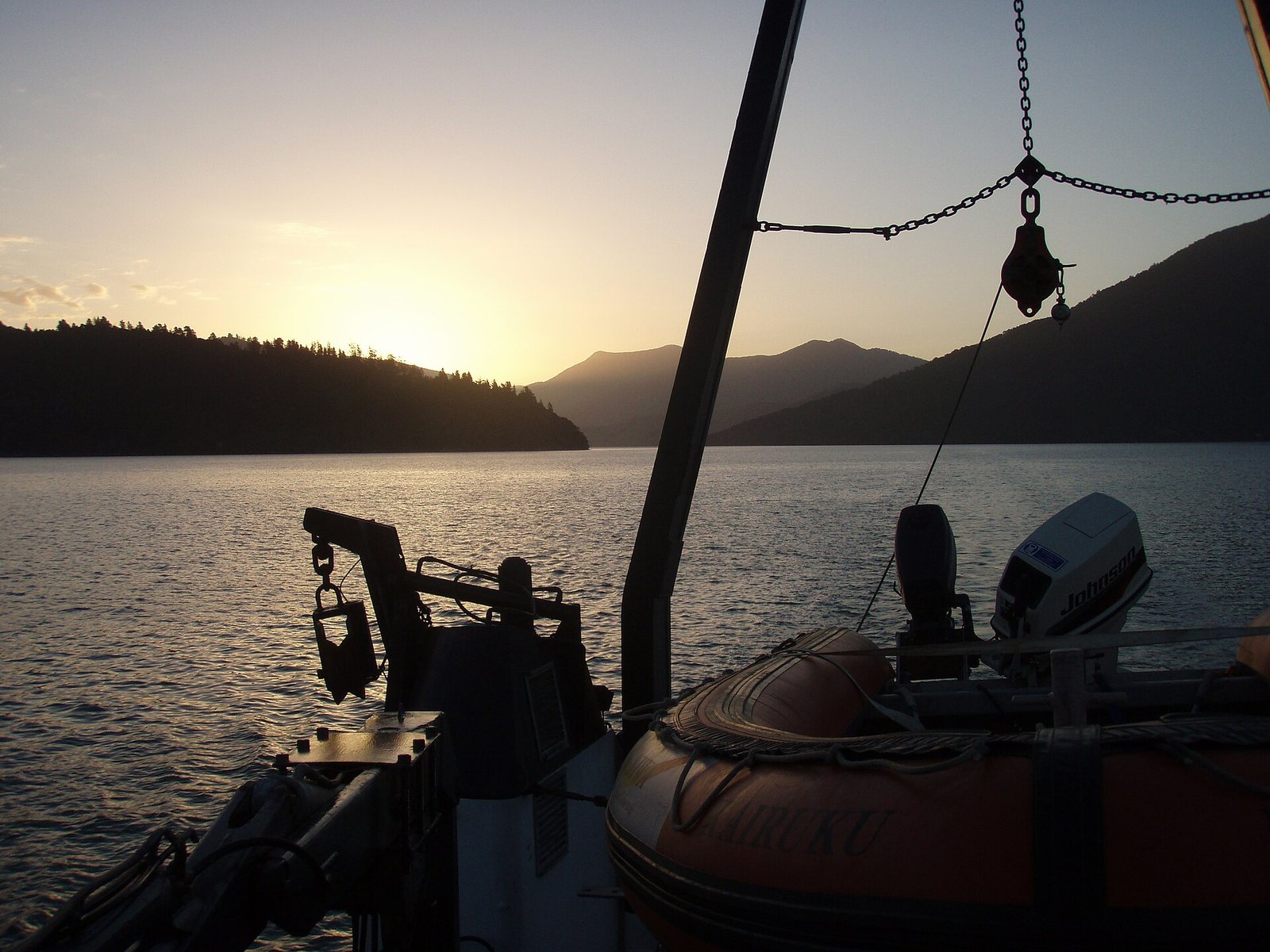
Ship Cove has no road access. Almost everyone reaches it by water taxi from Picton, which is also how most people leave the track partway.
The track's own guidance is 3–5 days to walk the full length, or 2–3 days to ride it by mountain bike. Single-day sections by water taxi are common.
Sources: Department of Conservation; qctrack.co.nz; Wikipedia (Marlborough Sounds); academic literature on the Sounds’ landscape history. The 4,000 km² figure is one of two in circulation (3,700 km² is the other); neither is confirmed against LINZ. Full list on the sources page.
73.5 km of ridgeline and bay from Meretoto / Ship Cove to Anakiwa — walked in 3–5 days, ridden in 2–3, or sampled in a day by water taxi.

Cook's anchorage on all three voyages, New Zealand's first historic reserve, and the start of the Queen Charlotte Track.

A predator-free bird sanctuary in the outer sound — saddleback, robin and kākāriki — with a lookout tower on its 128 m summit.

A fenced, predator-controlled peninsula ten minutes from the foreshore by water taxi, with a 2.7 km loop track.

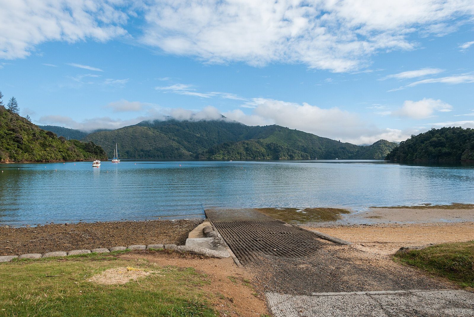
The road-accessible southern end of the Queen Charlotte Track, with a car park, shelter and toilets.

The slow, scenic road from Picton toward Havelock and Nelson, with lookouts over the Grove Arm.

Te Ara Tuhono
A 42 km walk-or-bike pathway from Picton to Havelock through the inner Sounds — or just its easy first section.

Everyday transport in the Sounds — to the track, to the lodges, to bays with no road.