
Reserve
Victoria Domain
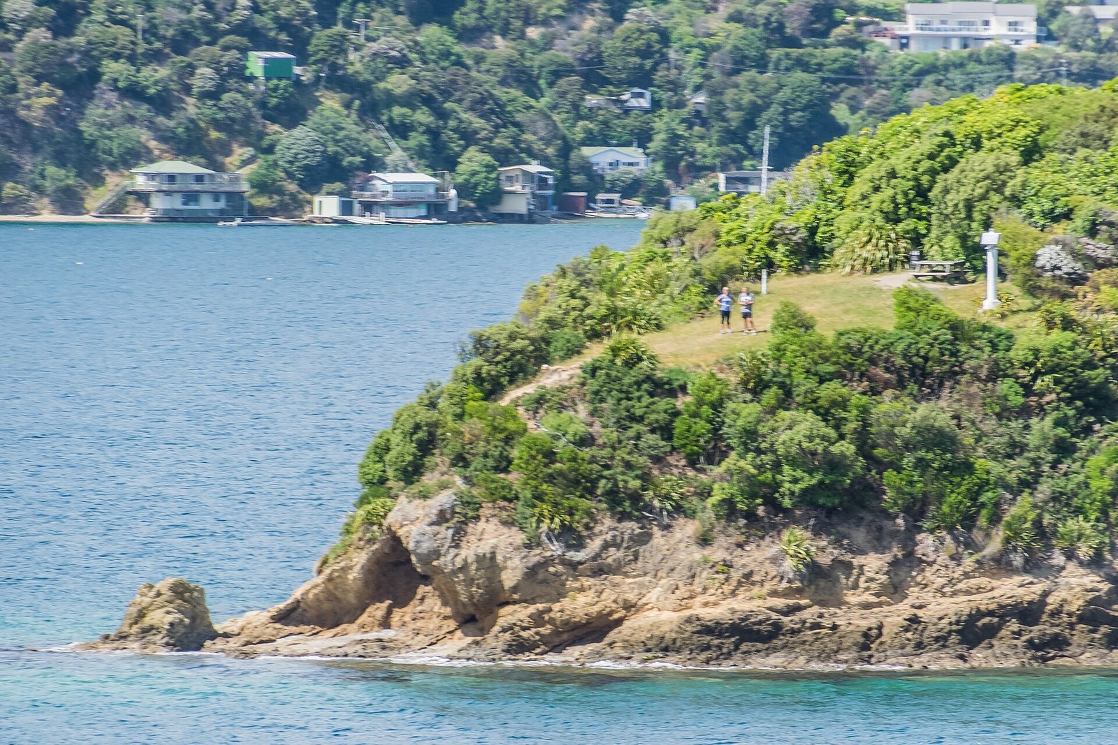
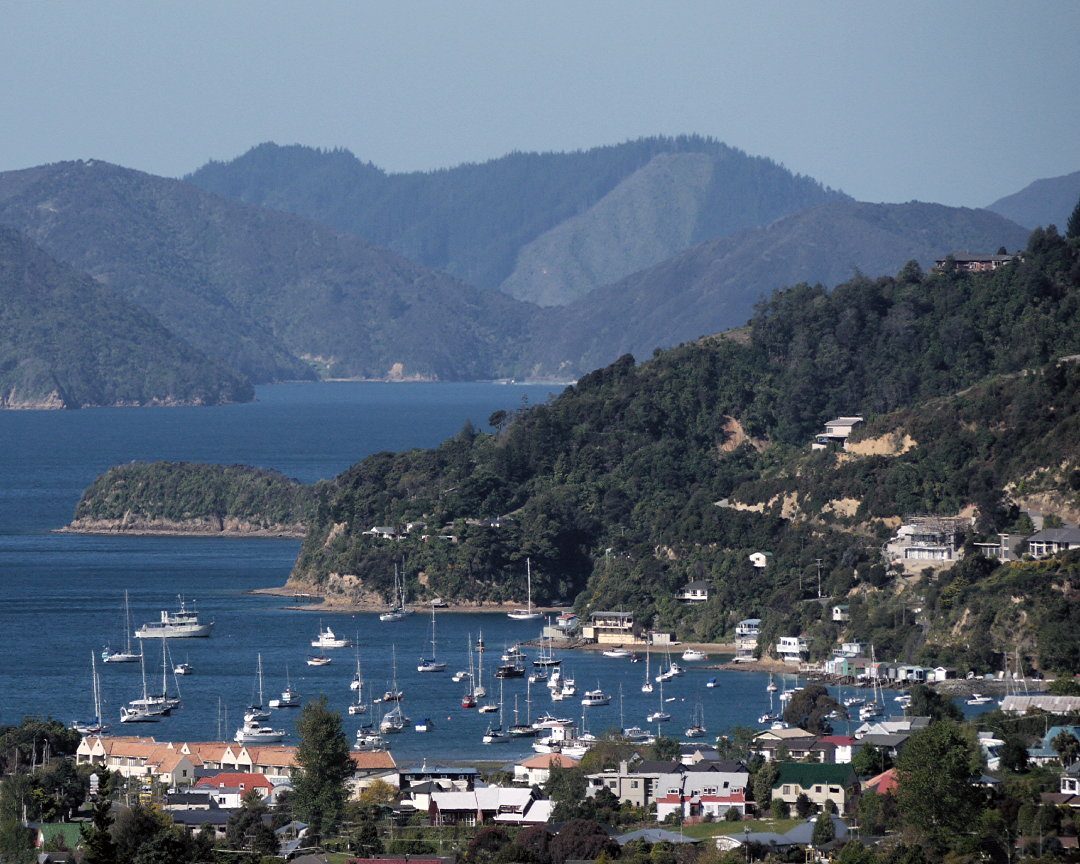
200 hectares of bush between Picton and Waikawa, with over 20 km of walking and mountain-bike tracks.
Photo: Krzysztof Golik / Wikimedia Commons, CC BY-SA 4.0
The council reserve that holds almost all of Picton's short walks — the Snout, Bob's Bay, Harbour View and the Picton–Waikawa tracks — plus a separate 13-route mountain-bike network.
At a glance
- Dogs
- On-leash on formed walking tracks and roads; not permitted on the mountain-bike tracks or off-track; off-leash only on the Picton–Waikawa Track (not in Endeavour Park)
- Toilets
- Public toilet on the Snout walkway
- Cost
- Free
- Getting there
- Multiple entry points: Surrey Street, Sussex Street, Waikawa Road, Leicester Street, Shelly Beach, Picton Marina, the Snout Track, Bob's Bay and Endeavour Park
- Size
- About 200 hectares, with over 20 km of tracks (Marlborough District Council)
- Rules
- No camping, fires, motorbikes or shooting
About Victoria Domain
Victoria Domain is the reason Picton has so many walks within a few minutes of High Street. It is a 200-hectare council recreation reserve covering the hills and headland between Picton and Waikawa, and the council counts more than 20 km of tracks inside it — it has been ecologically assessed as having medium ecological value and is used intensively by locals for walking and mountain biking.
The named walking tracks are listed individually on this site. The council's brochure also records several short connectors: Harbour View Track (900 m, 20 min), a 393 m track from the Sussex Street car park (20 min), Harbour View Car Park to Bob's Bay (1,174 m, 25 min) and Ranui to Ridgeline (477 m, 10 min) — all graded Moderate.
Separately there is a formally graded mountain-bike network of 13 routes (Easy to Advanced, 146 m to 3.5 km each, several one-way downhill only). Dogs are not allowed on the bike trails at all.
Know before you go
- Dog rules differ by track — see each walk.
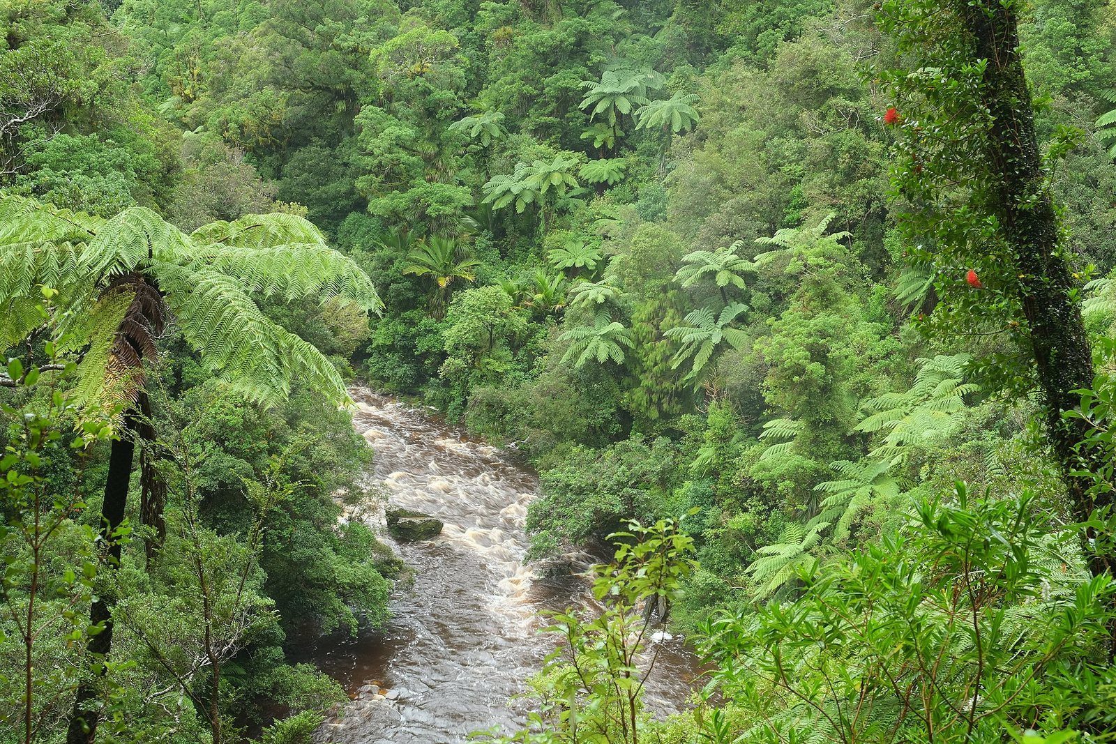
- Bird life; no camping or fires.
Photographs
Sources for this page
- Marlborough District Council — Victoria Domain facility page
- Marlborough District Council — Victoria Domain, Picton (biodiversity)
- Marlborough District Council — Picton by Foot or Bike brochure (PDF)
Location: OpenStreetMap contributors via Nominatim (Victoria Domain; approx).
Facts on this page were checked against the sources listed on 29 September 2026.
Something wrong or out of date? Tell us.
Nearby
Straight-line distances from Victoria Domain.

Foreshore to Shelly Beach
Ten minutes from the waterfront, over the Coathanger Bridge, to a small beach.

Lower Bob's Bay Track
Half an hour along the cliffs from Shelly Beach to a bush-fringed bay.

Upper Bob's Bay Track
The high route into Bob's Bay from Victoria Domain Loop Road.

Shelly Beach
The small beach ten minutes' walk from the foreshore, at the edge of Victoria Domain.
Eat nearby
Boost Real Fruit Icecream and Coffee
· Picton foreshore, Picton 7220 · 1.1 km · Trading status not recently re-confirmed — check before you go
Escape to Picton
Dinner · Takeaway · 33 Wellington Street, Picton 7220 · 1.1 km
Foreshore Takeaways
· 14 Wellington Street, Picton 7220 · 1.1 km
Hours and menus live on pictonrestaurants.co.nz, which shares our venue data.