
Multi-day walk
Queen Charlotte Track
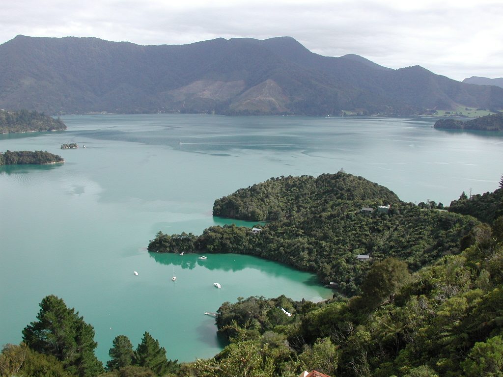
73.5 km of ridgeline and bay from Meretoto / Ship Cove to Anakiwa — walked in 3–5 days, ridden in 2–3, or sampled in a day by water taxi.
Photo: Steve Bittinger / www.flickr.com, CC BY 2.0
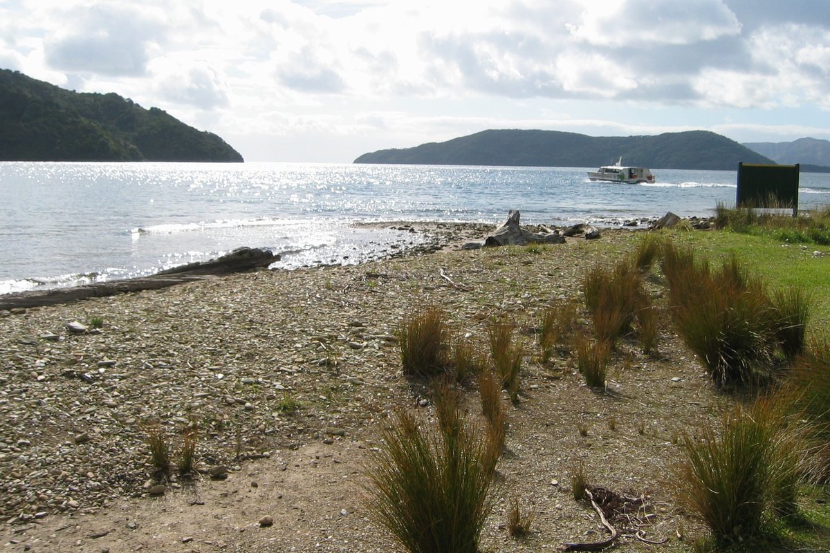
New Zealand's best-known Sounds track. Water taxis from Picton drop you at the start; jetties along the way let you do a single day section.
The track at a glance
- Distance
- 73.5 km one way (DOC's headline figure; DOC's own section table sums to 71 km, and the biking line is quoted as 72 km)
- Time
- 3–5 days walking; 2–3 days by mountain bike; single sections in a day
- Grade
- DOC does not apply a standard track grade; it describes relatively easy walking with hazards — tight corners, steep drop-offs, clay that is slippery when wet
- Route
- One way, Meretoto / Ship Cove to Anakiwa (or the reverse)
- Starts
- Ship Cove has no road access — water taxi from Picton. Anakiwa is road-accessible with a car park, shelter and toilets, and bus services link it with Picton
- Bikes
- Yes — an official Ngā Haerenga Great Ride; also part of Te Araroa
- Cost
- Water taxi fares, QCTLC pass and campsite fees apply (see the operators' own sites)
- Track pass
- A Queen Charlotte Track Land Cooperative (QCTLC) pass is required for the private-land sections between Kenepuru Saddle and Anakiwa, separate from DOC campsite fees
- Camping
- Six DOC campsites with toilets and water; no DOC huts; booking required year-round. Private lodges along the track as an alternative
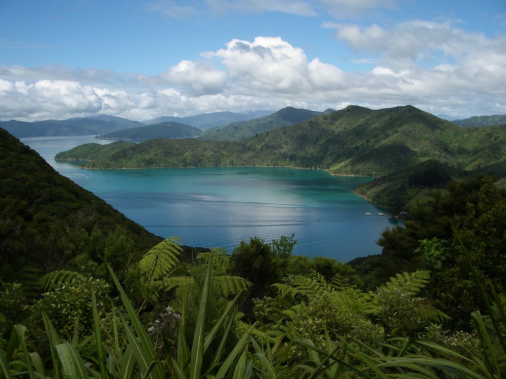
About Queen Charlotte Track
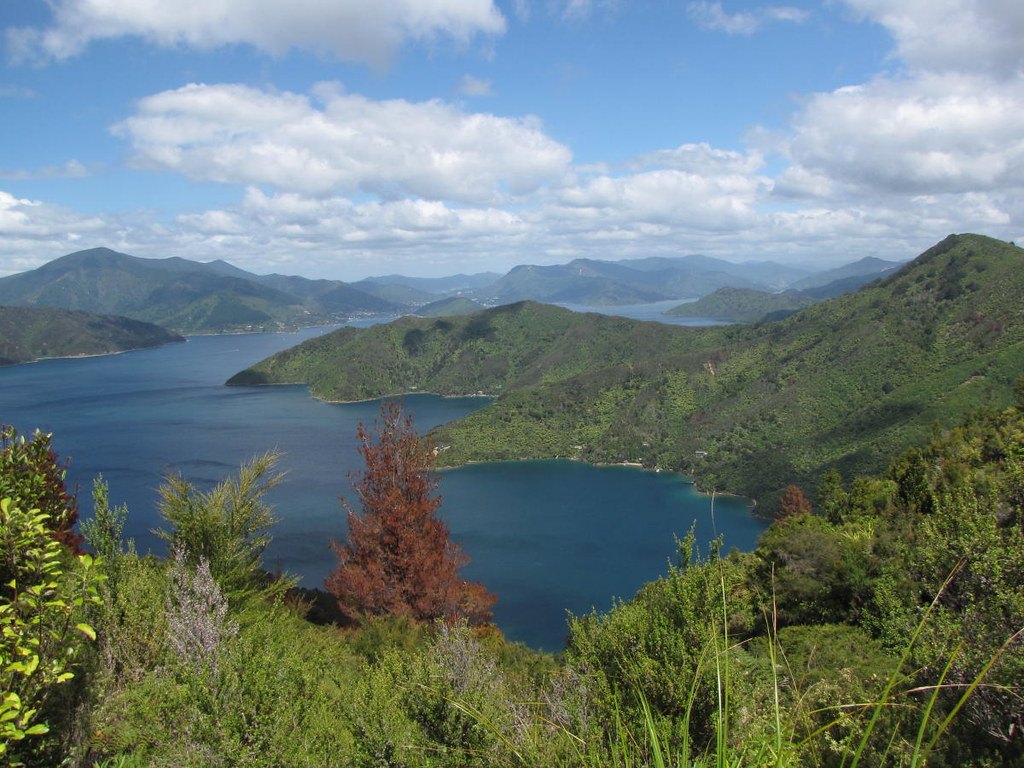
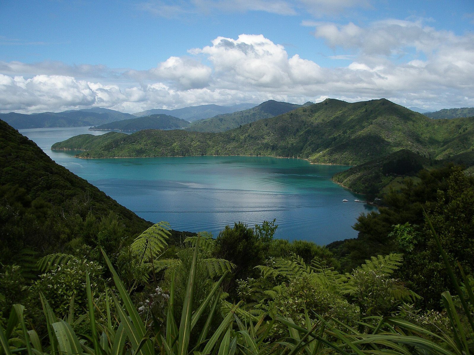
The Queen Charlotte Track runs along the forested ridgelines between Queen Charlotte Sound and Kenepuru Sound, with sea views on both sides for long stretches, from Cook's anchorage at Meretoto / Ship Cove in the outer sound to Anakiwa near the head of it. It is managed jointly by DOC, Marlborough District Council and private landowners, which is why a QCTLC pass is needed for the private-land stretch.
Sections, from DOC's own table: Ship Cove to Resolution Bay 4.5 km; Resolution Bay to Endeavour Inlet 10.5 km; Endeavour Inlet to Camp Bay 11.5 km; Camp Bay to Torea Saddle 24.5 km; Torea Saddle to Mistletoe Bay 7.5 km; Mistletoe Bay to Anakiwa 12.5 km. Sea-access points (water taxi needed): Ship Cove, Resolution Bay, Endeavour Inlet, Camp Bay, Mistletoe Bay / Te Mahia Bay. Road-access points: Anakiwa, Kenepuru Saddle, Torea Saddle, Te Mahia Saddle, Mistletoe Bay.
Doing it in a day: because water taxis serve so many jetties, most Picton visitors don't walk the whole thing. DOC singles out two popular single-day rides — Ship Cove to Kenepuru Saddle (about 27 km) and Mistletoe Bay to Anakiwa (12.5 km) — and the water-taxi operators run scheduled drop-offs and pick-ups for walkers doing a section. Luggage transfers let you carry a day pack only.
Know before you go
- Status on 29 Sep 2026: the track operator site says the whole track is open, but newly formed sections are soft, muddy and narrow in places, repair machinery may be working, and cyclists may need to walk some sections. Check qctrack.co.nz and DOC alerts before you go.
- Check a marine forecast before any water-taxi day; conditions in the Sounds change quickly (DOC).
- Fire restrictions year-round; treat tap water; wasp risk in late summer and autumn (DOC).
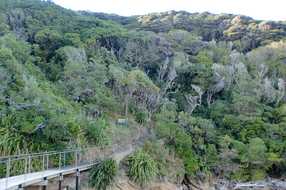
- Clay sections are slippery when wet; some steep drop-offs near the track edge.
Photographs
Official information
Sources for this page
- DOC — Queen Charlotte Track
- DOC — Queen Charlotte Track description (section distances)
- DOC — Queen Charlotte Track, getting there
- Queen Charlotte Track (official site)
Location: OpenStreetMap contributors via Nominatim (Meretoto / Ship Cove (northern end); feature).
Facts on this page were checked against the sources listed on 29 September 2026.
Something wrong or out of date? Tell us.
Nearby
Straight-line distances from Meretoto / Ship Cove (northern end).

Related

Meretoto / Ship Cove
Cook's anchorage on all three voyages, New Zealand's first historic reserve, and the start of the Queen Charlotte Track.

Water taxis
Everyday transport in the Sounds — to the track, to the lodges, to bays with no road.

Anakiwa
The road-accessible southern end of the Queen Charlotte Track, with a car park, shelter and toilets.