
Place
Anakiwa
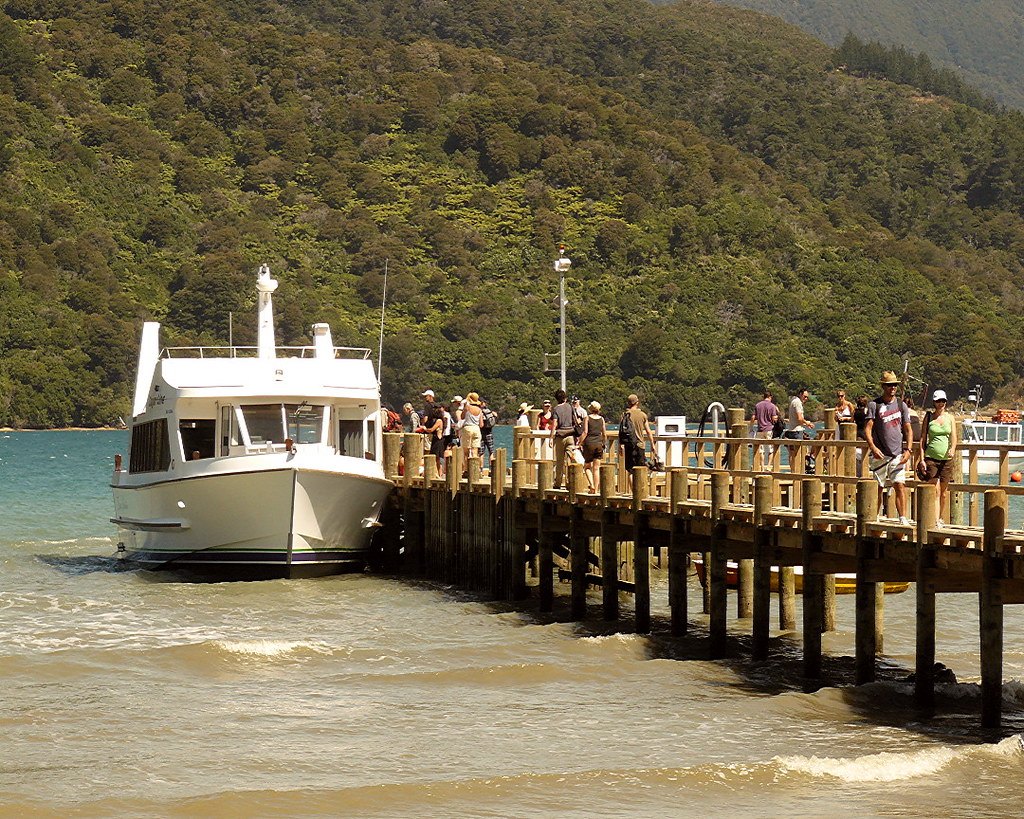
The road-accessible southern end of the Queen Charlotte Track, with a car park, shelter and toilets.
Photo: Samuel J Arnold / Wikimedia Commons, CC BY-SA 3.0
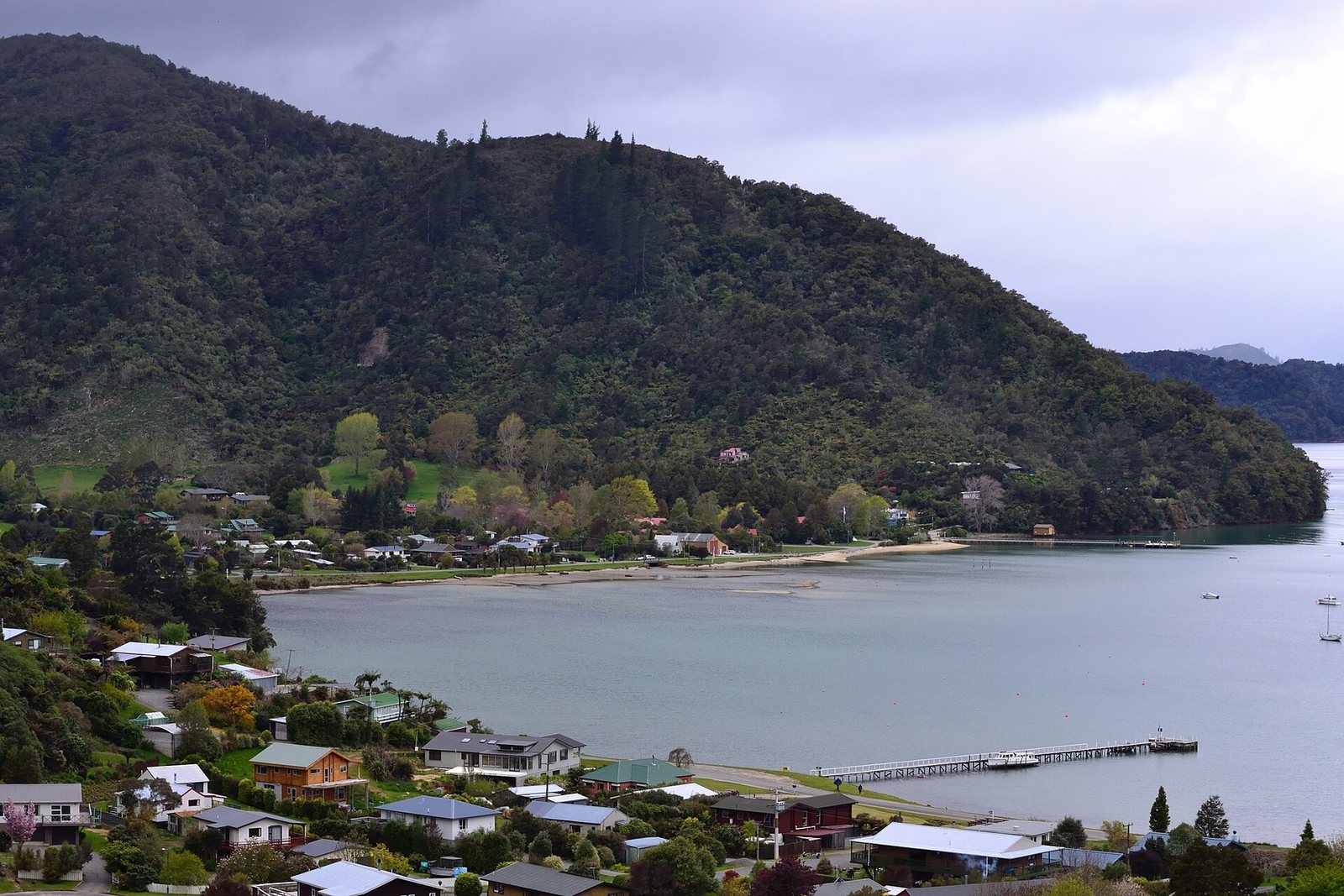
A small settlement at the head of the sound where the track finishes (or starts). Bus services link it with Picton; the Link Pathway has a spur here.
At a glance
- Cost
- Free to visit
- Getting there
- By road via Queen Charlotte Drive (about 15 minutes beyond Momorangi Bay), or by bus from Picton (DOC: regular and on-demand services)
- Facilities
- Car park, shelter and toilets (DOC)
About Anakiwa
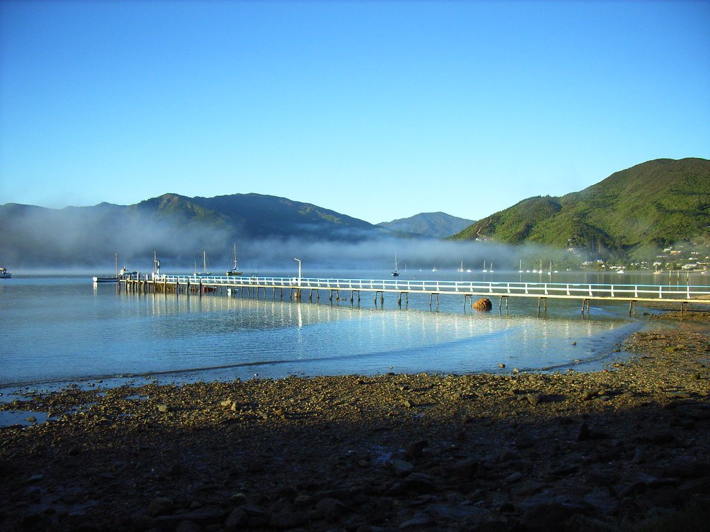
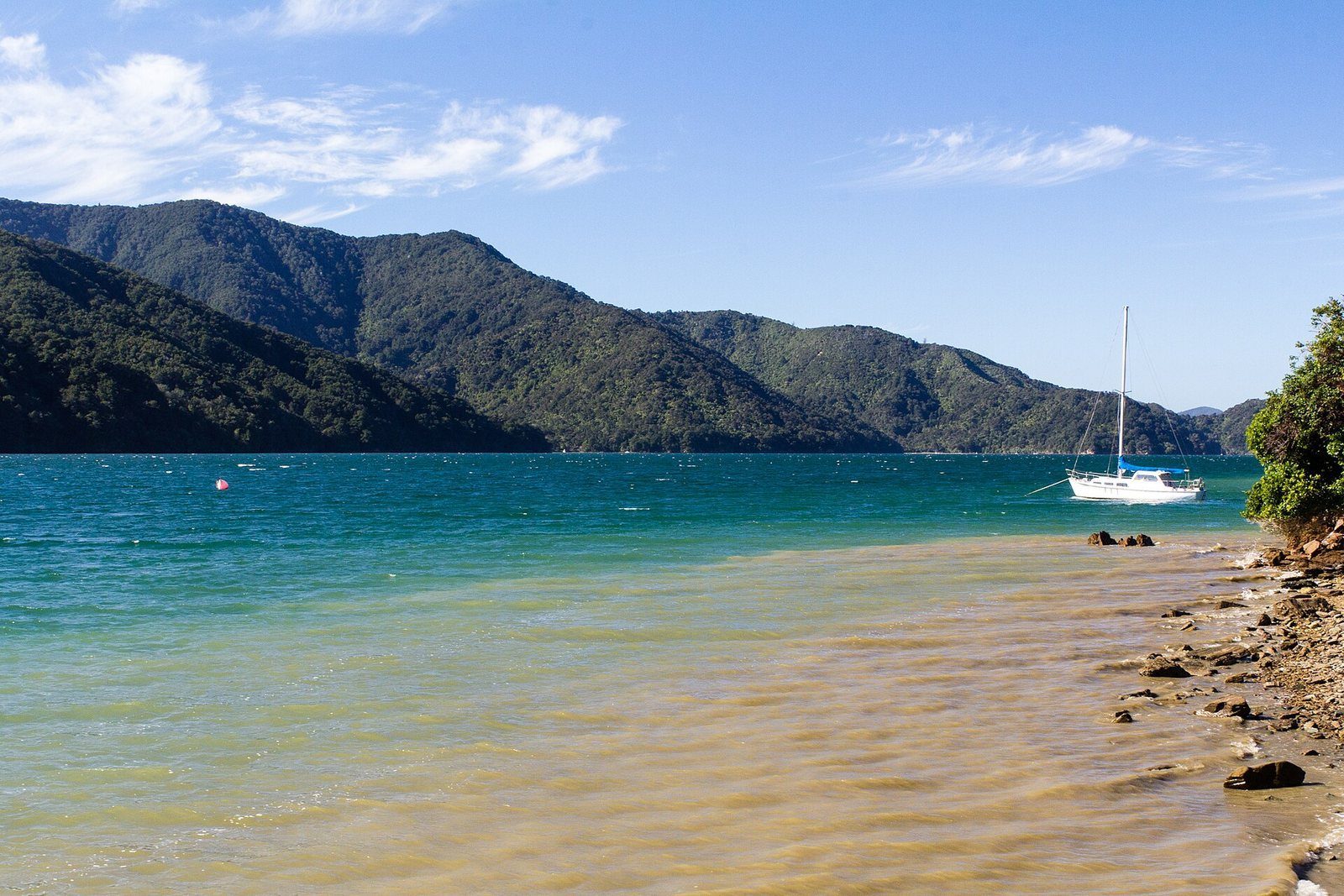
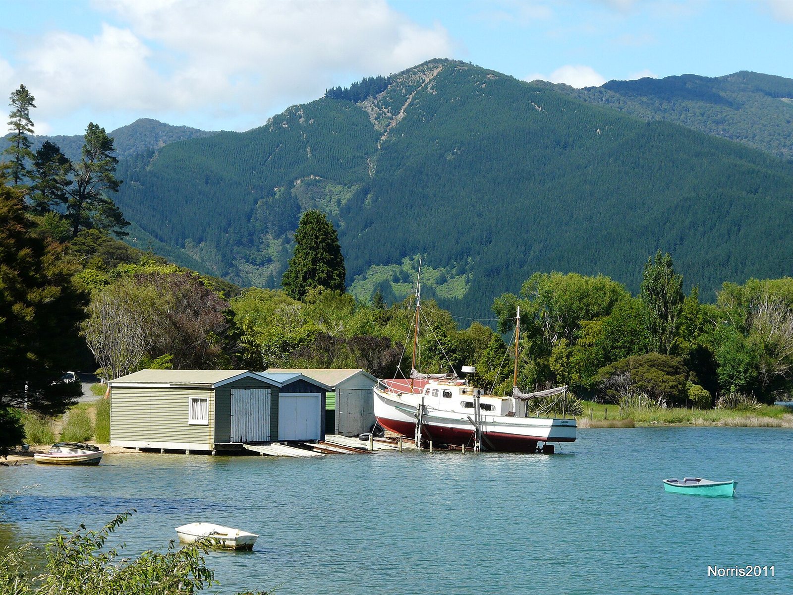
Anakiwa is the one end of the Queen Charlotte Track you can drive to. DOC provides a car park, shelter and toilets, and notes regular and on-demand bus services between Anakiwa and Picton — which is what makes a one-day section walk possible without a car: bus out, walk Mistletoe Bay to Anakiwa (12.5 km) or the reverse, water taxi or bus back. Nearby Okiwa Bay, in the Grove Arm, is the turquoise bay with the old boathouses in the photographs.
Know before you go
- Queen Charlotte Drive was closed between Grove Jetty and Picton by slips in the 7–8 July 2026 storm. We have not found a dated official notice of its current status, so check NZTA and Marlborough District Council road alerts before you drive it.
- Bus services are described by DOC in general terms only — check current operators and times before relying on them.
Photographs
Sources for this page
- DOC — Queen Charlotte Track, getting there
- DOC — Queen Charlotte Track
- NZ Transport Agency — journey planner and highway conditions
- Marlborough App — storm update, 8 July 2026
Location: OpenStreetMap contributors via Nominatim (Anakiwa; feature).
Facts on this page were checked against the sources listed on 5 September 2026.
Something wrong or out of date? Tell us.
Nearby
Straight-line distances from Anakiwa.

Related

Queen Charlotte Track
73.5 km of ridgeline and bay from Meretoto / Ship Cove to Anakiwa — walked in 3–5 days, ridden in 2–3, or sampled in a day by water taxi.

Momorangi Bay
A fully serviced DOC campsite on Queen Charlotte Drive, 25 minutes from Picton, with a playground on the reserve.

Queen Charlotte Drive
The slow, scenic road from Picton toward Havelock and Nelson, with lookouts over the Grove Arm.