
Day trip
Havelock
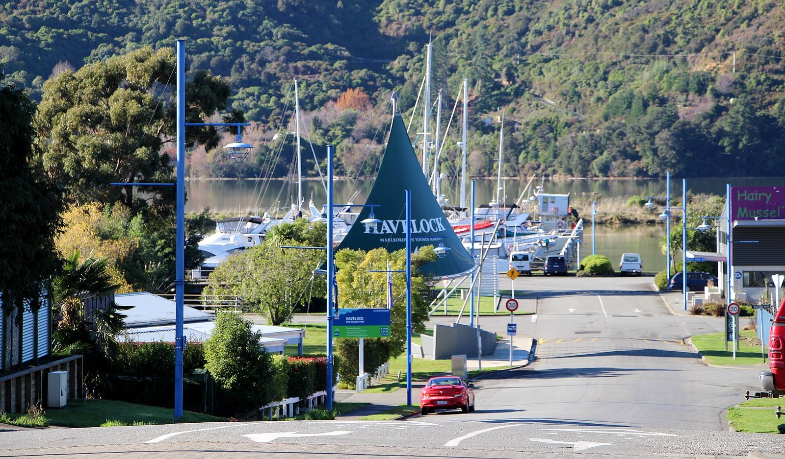
The small town at the head of Pelorus Sound / Te Hoiere, at the far end of the Link Pathway.
Photo: Michal Klajban / Wikimedia Commons, CC BY-SA 4.0
A little over an hour from Picton by InterCity coach, or the destination of the 42 km Link Pathway on foot or by bike.
At a glance
- Cost
- Coach fare
- Getting there
- InterCity coach from the Interislander terminal (1 h 5 min on the InterCity timetable); by car via SH6 or Queen Charlotte Drive; on foot or bike via the Link Pathway
About Havelock
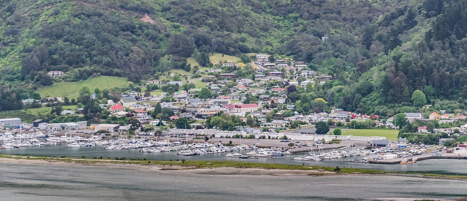
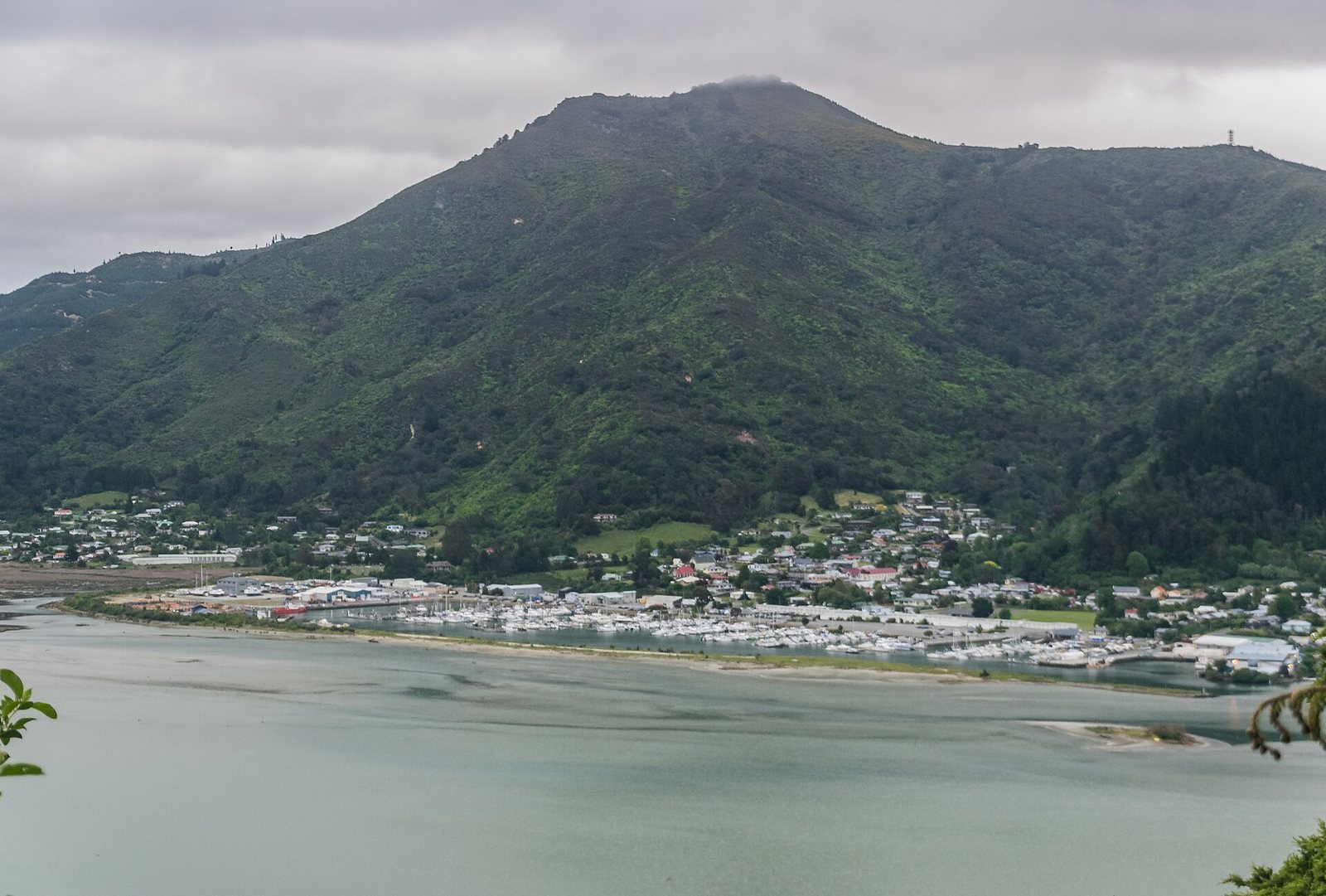
Havelock sits at the head of Pelorus Sound / Te Hoiere, the second of the main sounds, and is the western end of the Link Pathway from Picton. InterCity's coaches stop there on the way to Nelson, which makes it reachable without a car. Beyond that, we don't have verified detail about what to do there, so this page is deliberately short rather than padded.
Photographs
Sources for this page
Location: OpenStreetMap contributors via Nominatim (Havelock; feature).
Facts on this page were checked against the sources listed on 29 September 2026.
Something wrong or out of date? Tell us.

