
Easy walk
The Link Pathway / Te Ara Tuhono
A 42 km walk-or-bike pathway from Picton to Havelock through the inner Sounds — or just its easy first section.
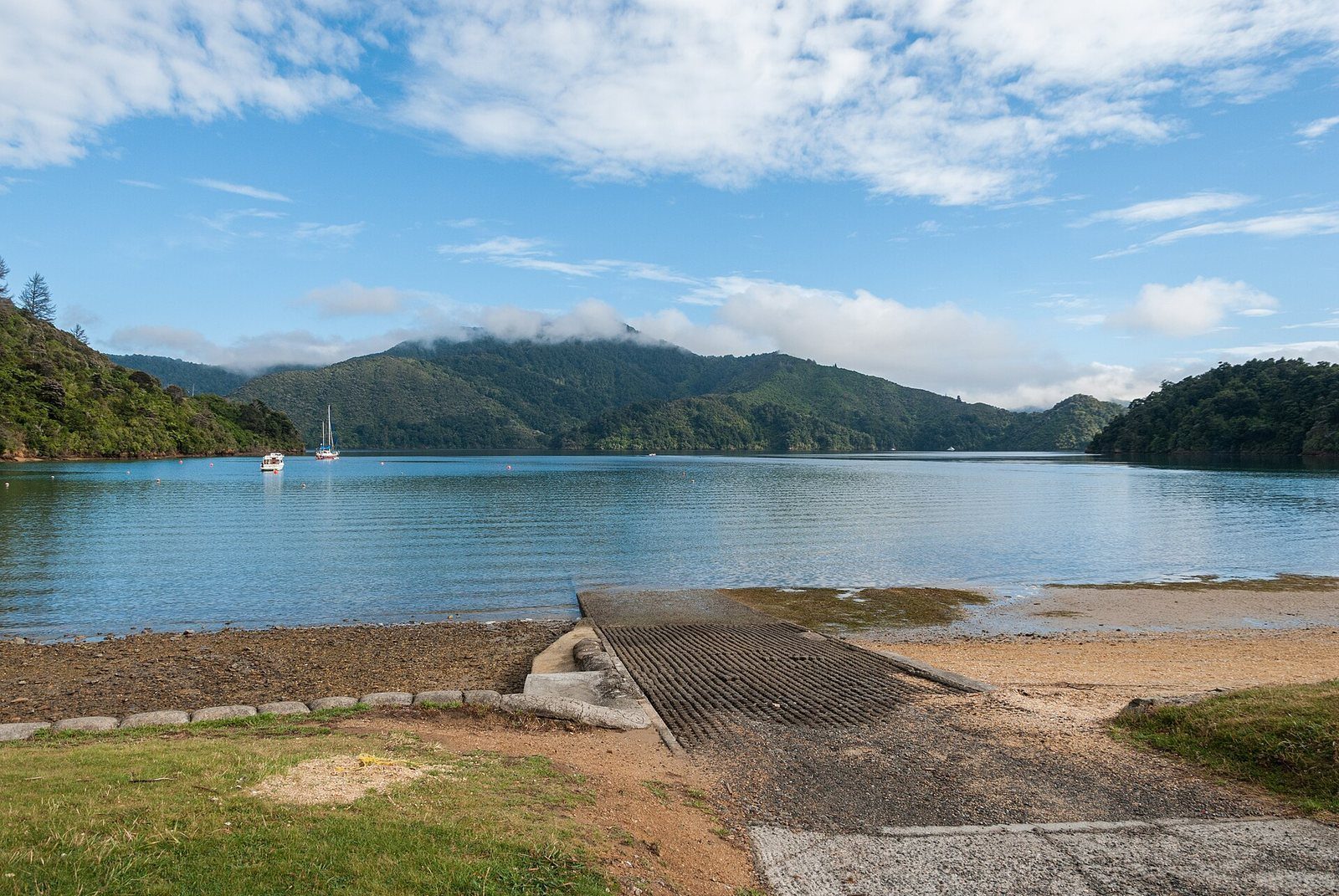
Photo: Daniel Vorndran (DXR) / Wikimedia Commons, CC BY-SA 4.0
From Picton, Section I runs 2.5 km to Shakespeare Bay at Grade 2 (Easy). The full pathway continues around the bays to Havelock, with a side track to a WW2 lookout at Wedge Point.
The track at a glance
- Distance
- Picton to Shakespeare Bay: 2.5 km (Section I). Full pathway: 42 km headline figure; the nine listed sections sum to 37.5 km
- Grade
- Section I is Grade 2, Easy. Other sections range from Grade 1 (Easy) to Grade 3.5 (Intermediate/Advanced) on the Trust's own scale
- Route
- One way, Picton – Shakespeare Bay – Ngakuta Bay – Momorangi – Linkwater – Havelock
- Starts
- Picton / Waitohi end, toward Shakespeare Bay
- Dogs
- Not stated by the Link Pathway Trust
- Bikes
- Walk or bike throughout
- Cost
- Free
- Current status
- The Trust reported the pathway reopened throughout on 24 July 2026 after storm damage, with some sections still muddy and narrow — check linkpathway.nz before relying on it
About The Link Pathway
The Link Pathway is a community-built walking and cycling route between Picton and Havelock through the inner Marlborough Sounds, part of it following a bridle path built in 1862 and rediscovered after more than 130 years. The Trust that built it gives the whole route as 42 km.
For a visitor in Picton, the useful bit is Section I: Shakespeare Bay to Picton, 2.5 km, graded Easy. Beyond that the sections climb to Wedge Point Ridge (with a side track to the remains of a WW2 lookout and signal station) and drop to Ngakuta Bay and Momorangi Bay, both on Queen Charlotte Drive, before the long flat run through Linkwater to Havelock.
Sections from the Trust's own table: Havelock estuary 2 km (Easy); Mahakipawa Hill 6.5 km (Intermediate); Lower Mahakipawa 4 km (Intermediate); Linkwater 7.5 km (Easy); The Grove to Momorangi 2.5 km (Intermediate); Momorangi to Ngakuta Bay 3.5 km (Intermediate); Ngakuta Bay to Wedge Point Ridge 5.5 km (Intermediate/Advanced); Wedge Point Ridge to Shakespeare Bay 3.5 km (Intermediate); Shakespeare Bay to Picton 2.5 km (Easy).
Know before you go
- Storm-damaged sections were reported reopened but muddy and narrow as of 24 July 2026.
- Momorangi Bay's DOC campsite connects to the pathway if you want to break the trip.
Photographs
Sources for this page
- Link Pathway Trust — highlights, map and sections
- Link Pathway Trust — home
- Marlborough District Council — The Link Pathway
Location: OpenStreetMap contributors via Nominatim (Shakespeare Bay; approx).
Facts on this page were checked against the sources listed on 29 September 2026.
Something wrong or out of date? Tell us.
Nearby
Straight-line distances from Shakespeare Bay.

Queen Charlotte Drive
The slow, scenic road from Picton toward Havelock and Nelson, with lookouts over the Grove Arm.

Kaipūpū Sanctuary
A fenced, predator-controlled peninsula ten minutes from the foreshore by water taxi, with a 2.7 km loop track.

Edwin Fox Maritime Museum
An 1853 teak sailing ship in dry dock on the waterfront — one of the oldest surviving merchant hulls anywhere.

Lower Bob's Bay Track
Half an hour along the cliffs from Shelly Beach to a bush-fringed bay.
Related

Ngakuta Bay
A calm, bush-fringed bay with a beach on Queen Charlotte Drive, on the Link Pathway.

Momorangi Bay
A fully serviced DOC campsite on Queen Charlotte Drive, 25 minutes from Picton, with a playground on the reserve.

Havelock
The small town at the head of Pelorus Sound / Te Hoiere, at the far end of the Link Pathway.