
Lookout
Queen Charlotte Drive
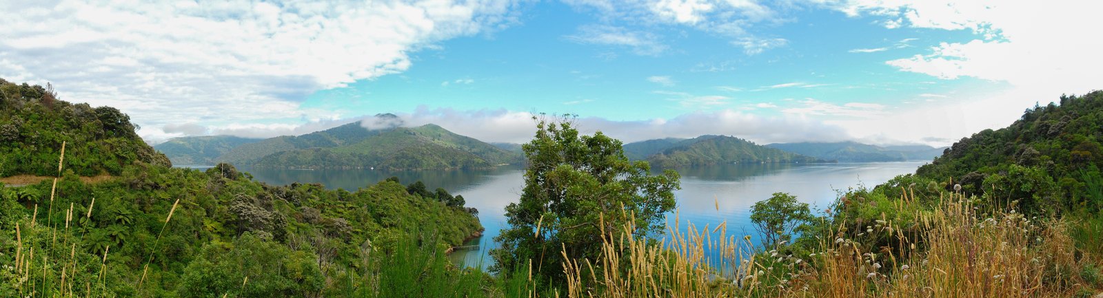
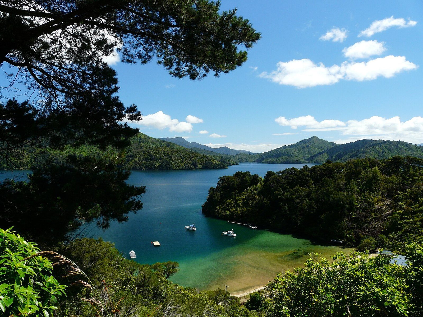
The slow, scenic road from Picton toward Havelock and Nelson, with lookouts over the Grove Arm.
Photo: Pavel Špindler / Wikimedia Commons, CC BY 3.0
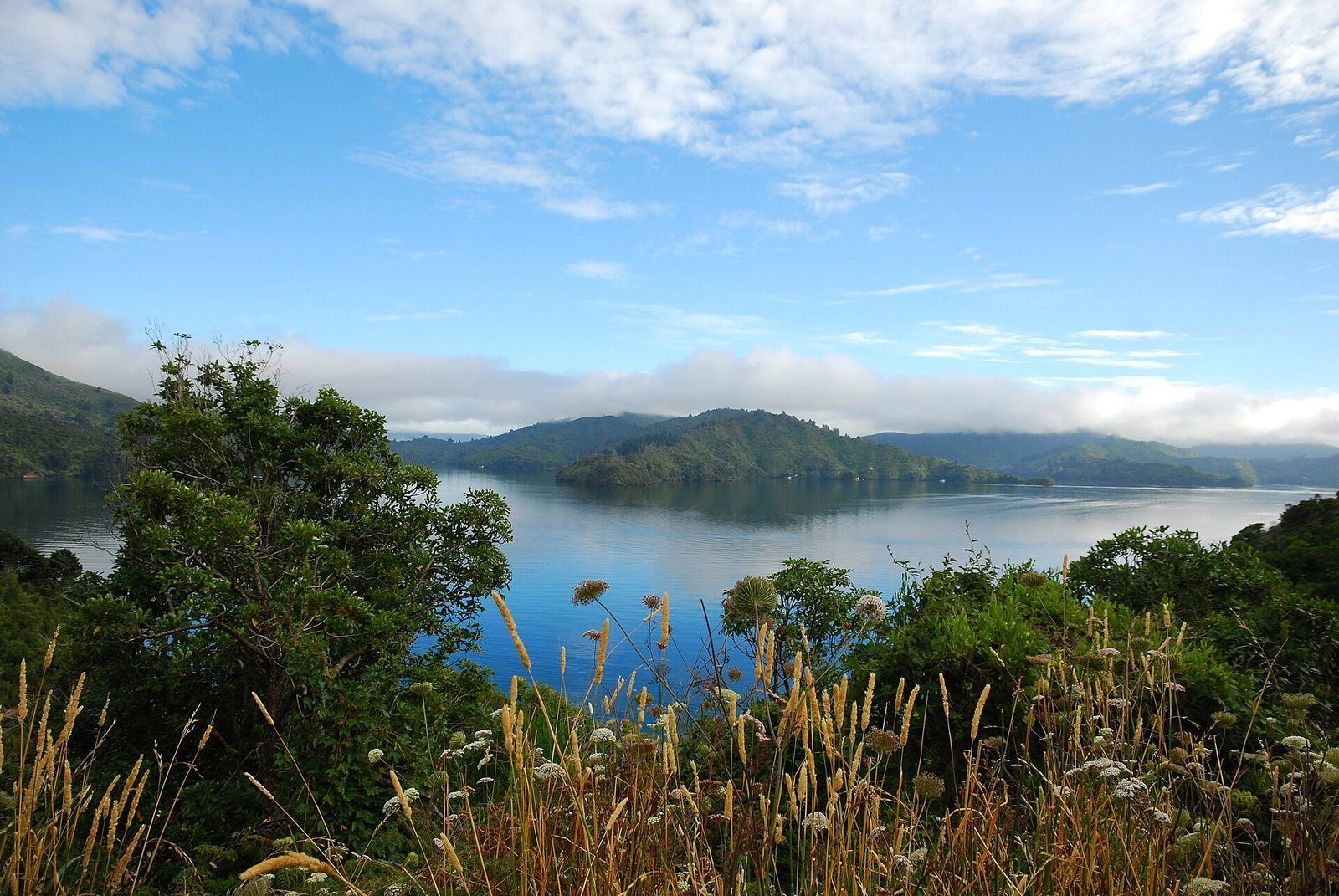
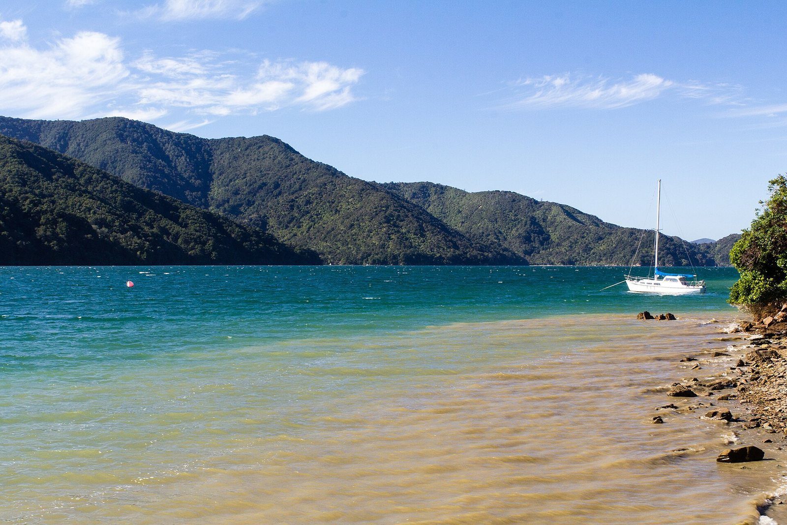
The alternative to State Highway 6 for Nelson: slower, narrower and far prettier, climbing out of Picton with a view back over the town and then following the bays of the Grove Arm past Ngakuta, Momorangi and Anakiwa.
At a glance
- Distance
- Momorangi Bay campsite is about 13 km / 25 min along it; Anakiwa about 15 min further
- Cost
- Free
- Getting there
- By car or bike; the Link Pathway parallels much of it off-road
About Queen Charlotte Drive
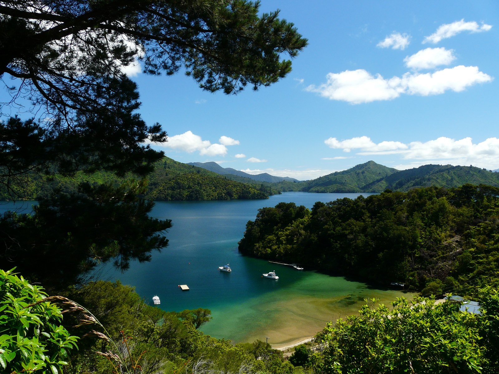
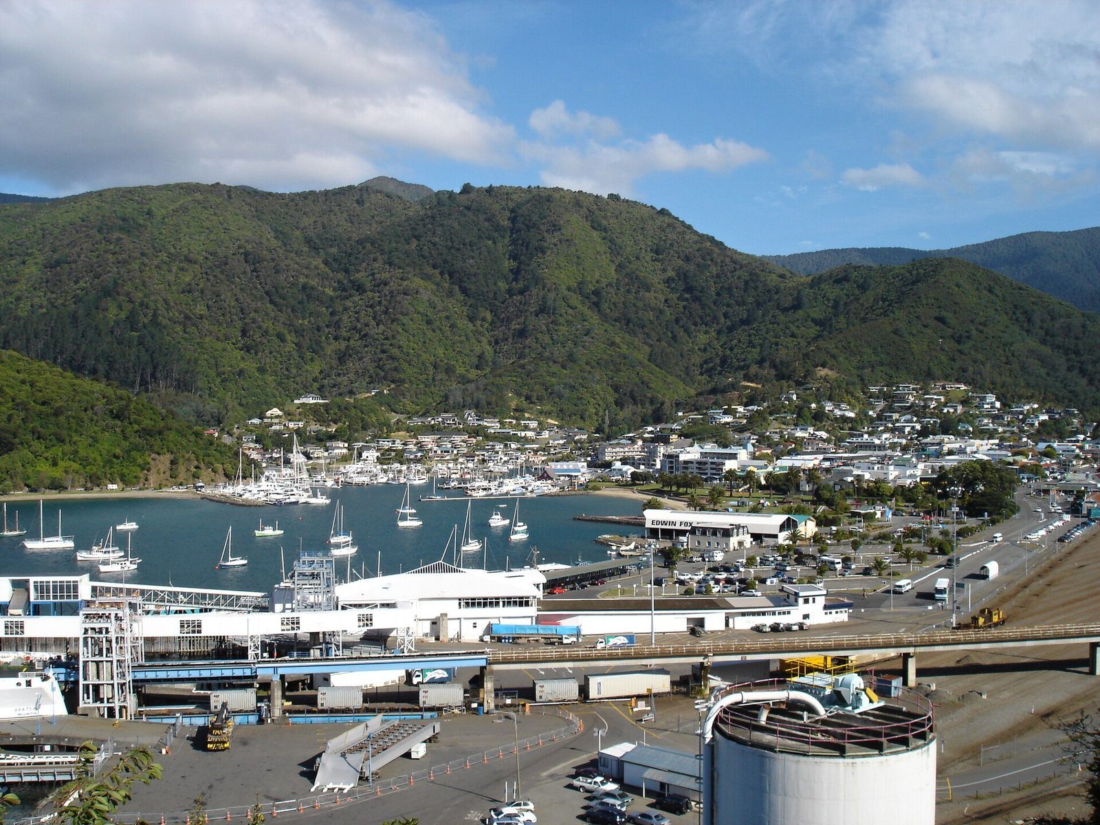
Queen Charlotte Drive leaves Picton past Shakespeare Bay and climbs almost immediately to a view back over the town, the marina and the ferry terminals — the photograph most people take of Picton is taken from here. It then winds along the Grove Arm of the sound with bays below it: Whenuanui (Becks Bay), Ngakuta, Momorangi and finally Okiwa Bay and Anakiwa before the road cuts across to Havelock. It is the scenic (and slower) way toward Nelson; published distances for the route vary enough between sources that we don't quote one — use a live route planner.
Know before you go
- Queen Charlotte Drive was closed between Grove Jetty and Picton by slips in the 7–8 July 2026 storm. We have not found a dated official notice of its current status, so check NZTA and Marlborough District Council road alerts before you drive it.
- Narrow and winding; allow more time than the distance suggests.
Photographs
Sources for this page
- DOC — Queen Charlotte Drive (Queen Charlotte Sound / Tōtaranui area)
- Waka Kotahi journey planner
- Marlborough App — storm update, 8 July 2026
Location: OpenStreetMap contributors via Nominatim (Queen Charlotte Drive, Picton end; approx).
Facts on this page were checked against the sources listed on 5 September 2026.
Something wrong or out of date? Tell us.
Nearby
Straight-line distances from Queen Charlotte Drive, Picton end.

Edwin Fox Maritime Museum
An 1853 teak sailing ship in dry dock on the waterfront — one of the oldest surviving merchant hulls anywhere.

Foreshore to Shelly Beach
Ten minutes from the waterfront, over the Coathanger Bridge, to a small beach.

The Link Pathway
A 42 km walk-or-bike pathway from Picton to Havelock through the inner Sounds — or just its easy first section.

Picton Foreshore
The lawn, the palms, the marina and the war memorial — where the town meets the water, and where everything starts.
Eat nearby
Boost Real Fruit Icecream and Coffee
· Picton foreshore, Picton 7220 · 0.7 km · Trading status not recently re-confirmed — check before you go
Subway Picton
Lunch · Takeaway · 3 Auckland Street, Picton 7220 · 0.7 km
Norimaki by Noodle Corner
Lunch · Dinner · Takeaway · 2/1 High Street, Picton 7220 · 0.8 km
Hours and menus live on pictonrestaurants.co.nz, which shares our venue data.