
Beach & bay
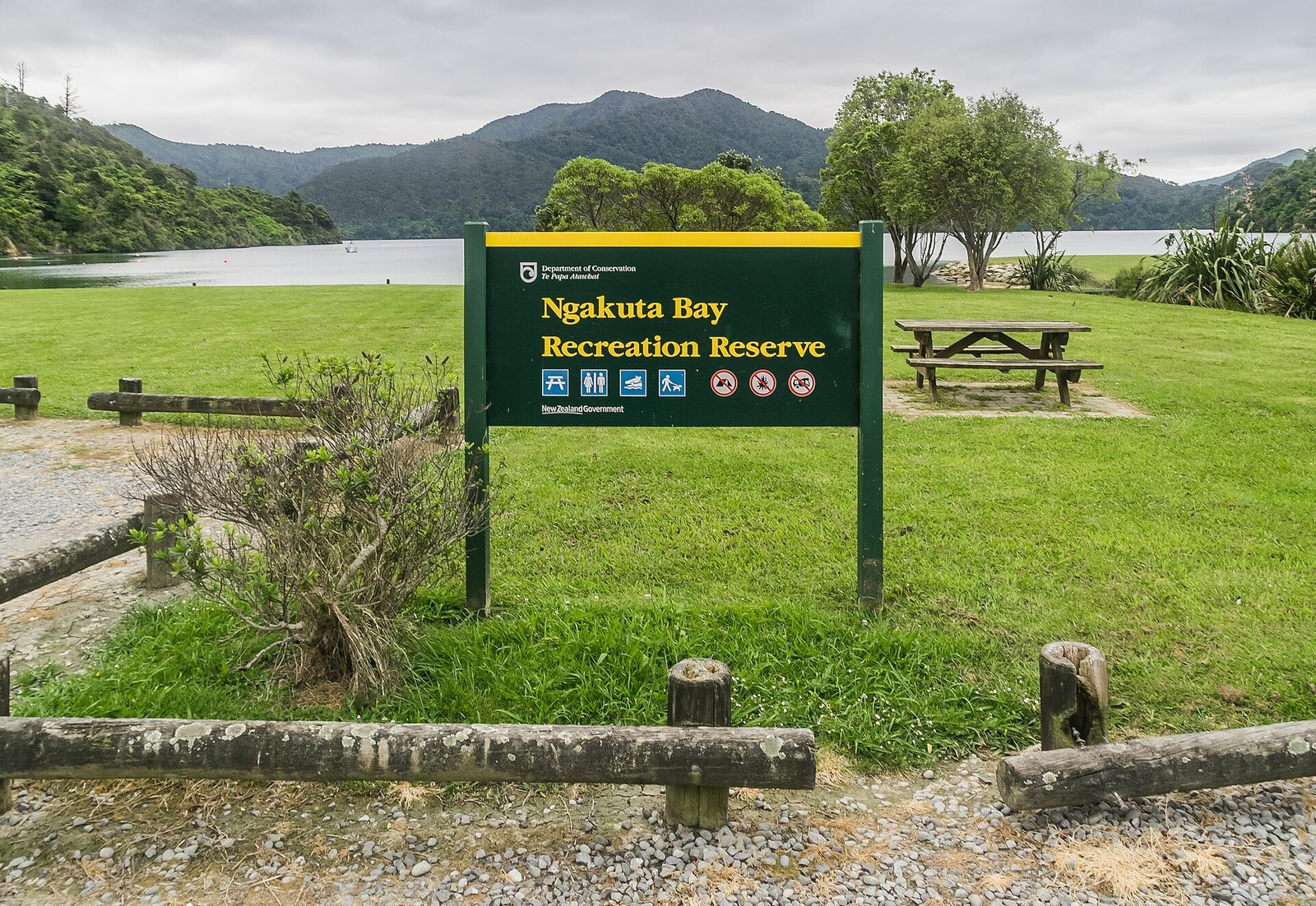
Ngakuta Bay
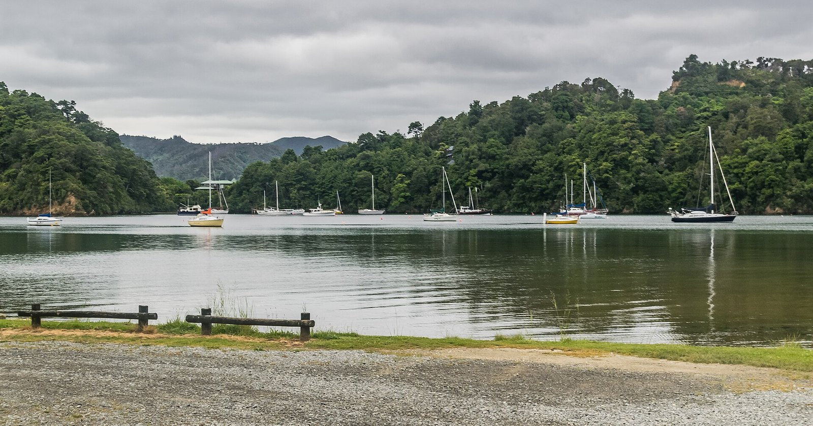
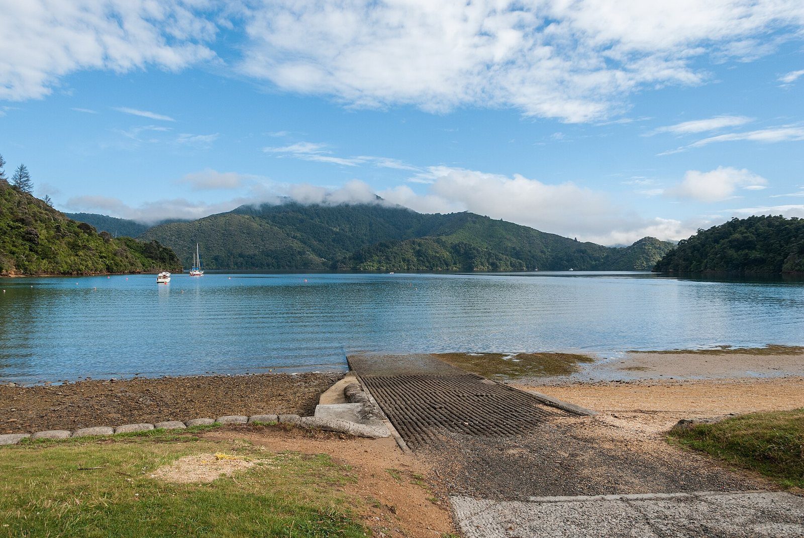
A calm, bush-fringed bay with a beach on Queen Charlotte Drive, on the Link Pathway.
Photo: Krzysztof Golik / Wikimedia Commons, CC BY-SA 4.0
One of the sheltered bays on the road toward Anakiwa. Link Pathway Sections F and G meet here — 3.5 km to Momorangi Bay one way, 5.5 km up to Wedge Point Ridge the other.
At a glance
- Cost
- Free
- Getting there
- By road on Queen Charlotte Drive, or on foot/bike via the Link Pathway
- Swimming
- Not stated by any source
About Ngakuta Bay
Ngakuta is a small settlement and beach on a sheltered arm of the sound, between Picton and Momorangi Bay on Queen Charlotte Drive. For walkers and riders it is a waypoint on the Link Pathway: Section F runs 3.5 km to Momorangi Bay (Grade 3, Intermediate) and Section G climbs 5.5 km to Wedge Point Ridge (Grade 3.5, Intermediate/Advanced).
Know before you go
- Queen Charlotte Drive was closed between Grove Jetty and Picton by slips in the 7–8 July 2026 storm. We have not found a dated official notice of its current status, so check NZTA and Marlborough District Council road alerts before you drive it.
Photographs
Sources for this page
- Link Pathway Trust — sections
- NZ Transport Agency — journey planner and highway conditions
- Marlborough App — storm update, 8 July 2026
Location: OpenStreetMap contributors via Nominatim (Ngākuta Bay; feature).
Facts on this page were checked against the sources listed on 5 September 2026.
Something wrong or out of date? Tell us.
Nearby
Straight-line distances from Ngākuta Bay.

Momorangi Bay
A fully serviced DOC campsite on Queen Charlotte Drive, 25 minutes from Picton, with a playground on the reserve.

The Link Pathway
A 42 km walk-or-bike pathway from Picton to Havelock through the inner Sounds — or just its easy first section.

Queen Charlotte Drive
The slow, scenic road from Picton toward Havelock and Nelson, with lookouts over the Grove Arm.

Edwin Fox Maritime Museum
An 1853 teak sailing ship in dry dock on the waterfront — one of the oldest surviving merchant hulls anywhere.
Related
The Link Pathway
A 42 km walk-or-bike pathway from Picton to Havelock through the inner Sounds — or just its easy first section.
Momorangi Bay
A fully serviced DOC campsite on Queen Charlotte Drive, 25 minutes from Picton, with a playground on the reserve.
Queen Charlotte Drive
The slow, scenic road from Picton toward Havelock and Nelson, with lookouts over the Grove Arm.