
Beach & bay
Whatamango Bay
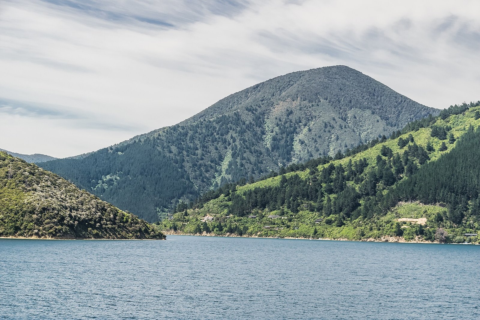
A DOC campsite bay 10 km east of Picton on Port Underwood Road — about 15 minutes from the ferry.
Photo: Krzysztof Golik / Wikimedia Commons, CC BY-SA 4.0
A basic, conservation-style DOC campsite on a quiet bay reached by a sealed, narrow, winding road. Fishing, walking and boating; stream water only, and pack out your rubbish.
At a glance
- Distance
- 10 km from Picton, heading east past Waikawa on Port Underwood Road; roughly 15 minutes from the ferry terminal (DOC)
- Cost
- DOC campsite fees apply for camping
- Facilities
- Basic DOC campsite: stream water only, no rubbish collection
- Swimming
- Not stated by DOC
- Road
- Sealed, narrow and winding
- Camping
- DOC campsite, bookable (DOC listed bookings open to 30 June 2027 when we checked)
About Whatamango Bay
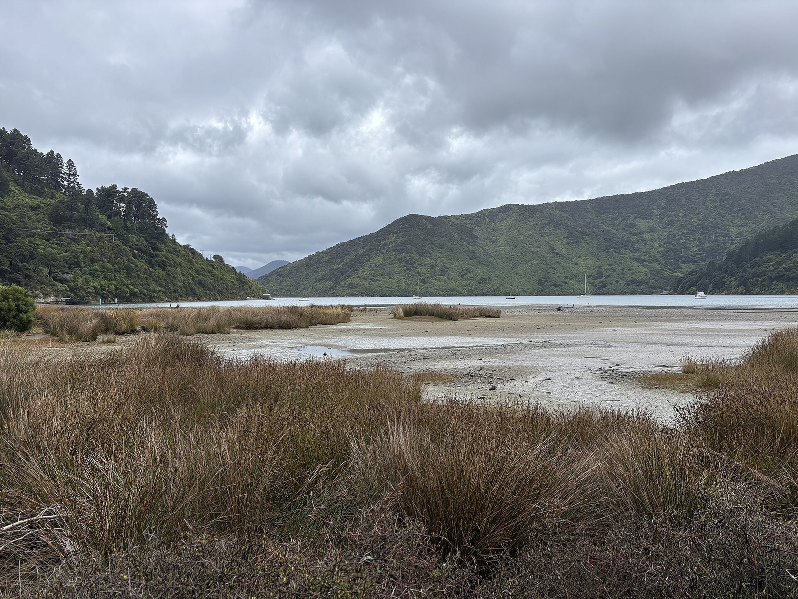
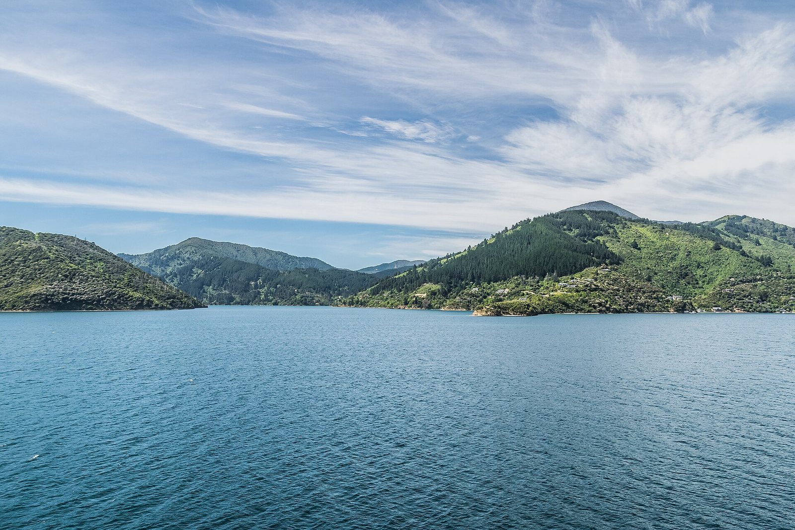
Whatamango is the nearest DOC campsite to Picton — DOC gives it as roughly 15 minutes from the ferry terminal, which makes it useful for an early sailing or a late arrival. It is a basic site (stream water, take your rubbish with you) on a sheltered bay; DOC lists fishing, walking and boating in general terms, but publishes no formal track here. The road in is sealed but narrow and winding.
Know before you go
- DOC's page carries a weather-damage road warning for this area: check Marlborough District Council road alerts before driving Port Underwood Road.
- Basic campsite: no drinking water supply, no rubbish collection.
- Road access only.
Photographs
Official information
Sources for this page
Location: OpenStreetMap contributors via Nominatim (Whatamango Bay; feature).
Facts on this page were checked against the sources listed on 29 September 2026.
Something wrong or out of date? Tell us.
Nearby
Straight-line distances from Whatamango Bay.

Karaka Point Historic Reserve
A headland lookout beyond the Snout on the road to Whatamango Bay.

Waikawa Bay
The next bay north of Picton, home to Waikawa Marina and the Te Ātiawa community that moved here in 1850.

The Snout Track
The classic Picton walk: along the headland between the two marinas to a lookout, then on to the point.

Picton to Waikawa Track
The easy, dog-friendly walk between Picton and the next bay.
Related
Karaka Point Historic Reserve
A headland lookout beyond the Snout on the road to Whatamango Bay.

Momorangi Bay
A fully serviced DOC campsite on Queen Charlotte Drive, 25 minutes from Picton, with a playground on the reserve.
Waikawa Bay
The next bay north of Picton, home to Waikawa Marina and the Te Ātiawa community that moved here in 1850.