
Moderate walk
The Snout Track / Te Ihu Moeone
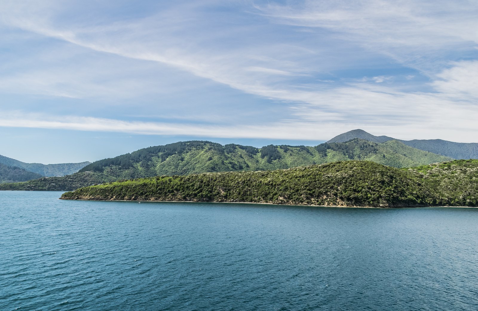
The classic Picton walk: along the headland between the two marinas to a lookout, then on to the point.
Photo: Krzysztof Golik / Wikimedia Commons, CC BY-SA 4.0
A ridge walk through Victoria Domain to the Queen Charlotte View lookout (50 min one way) and, if you keep going, Snout Head (another 40 min). Moderate grade, out and back.
The track at a glance
- Distance
- 3.9 km one way (2,581 m to Queen Charlotte View + 1,318 m on to Snout Head)
- Time
- About 90 min one way; allow around 3 hours return from the car park
- Grade
- Moderate (Marlborough District Council's own grading, both sections)
- Route
- Out and back along the headland
- Starts
- Snout Track car park in Victoria Domain, off Waikawa Road — a short drive from the town centre, or walk in from the foreshore via the Coathanger Bridge and Shelly Beach
- Elevation gain
- Not published by any source
- Dogs
- On a leash (Victoria Domain rule for formed walking tracks)
- Bikes
- The first section, car park to Queen Charlotte View, is a shared walking and biking track; the final section to Snout Head is walking only
- Toilets
- A public toilet on the Snout walkway (Marlborough District Council)
- Cost
- Free
About The Snout Track
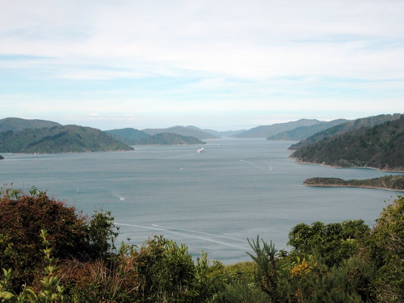
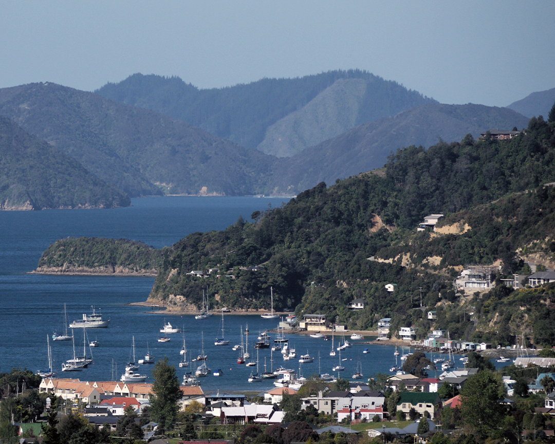
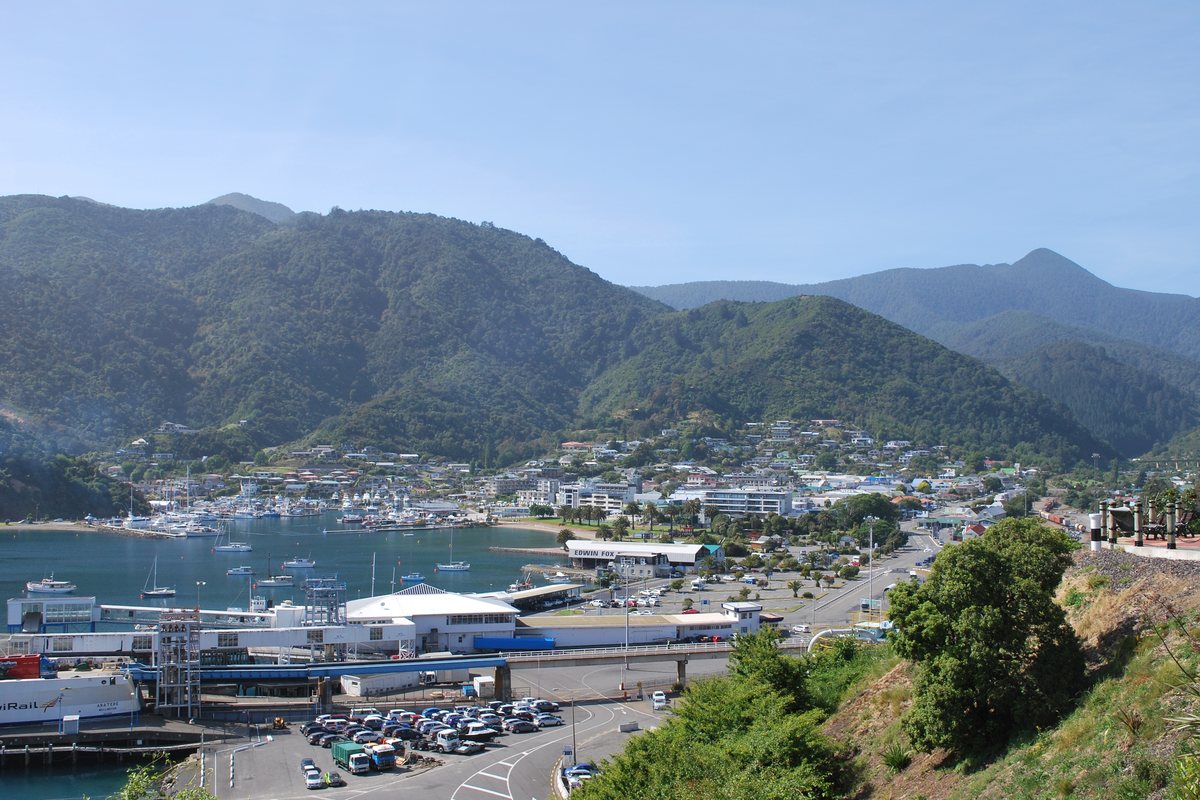
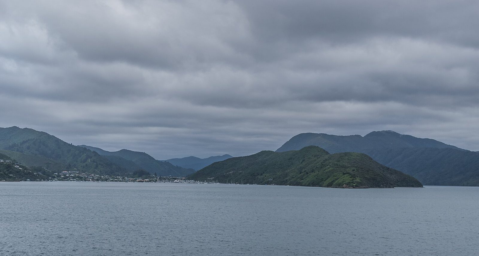
The Snout is the long headland that separates Picton Harbour from Waikawa Bay, and the track along its spine is the walk most people mean when they say they “did the Picton walk”. It climbs gradually through the bush of Victoria Domain with the harbour on one side and Waikawa Bay on the other.
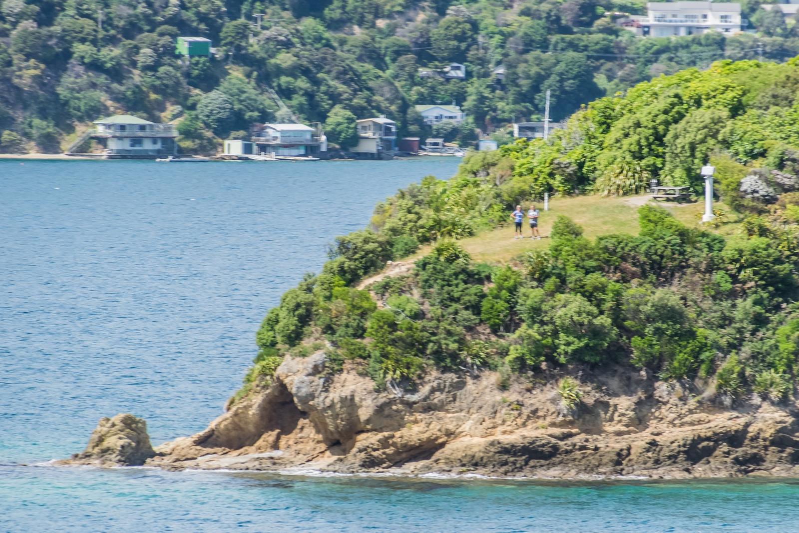
Marlborough District Council measures it in two sections. The first, from the car park to the lookout named Queen Charlotte View, is 2,581 m and about 50 minutes; this is the part most people walk, and it is also open to mountain bikes. The second, from Queen Charlotte View out to Snout Head at the very tip, is 1,318 m and another 40 minutes on a walking-only track.
You can start from the car park in the Domain, or make it a longer outing from town: the foreshore, the Coathanger Bridge and Shelly Beach connect into the same track network. Note that a commonly quoted secondary figure (5.8 km return) disagrees with the council's measured total of about 7.8 km return; we use the council's figure.
Know before you go
- The council grades both sections Moderate.
- Dogs on-leash. No dogs at all on the mountain-bike-only trails elsewhere in the Domain.
- No elevation figure is published, so budget by time rather than distance.
Photographs
Sources for this page
- Marlborough District Council — Picton by Foot or Bike brochure (PDF)
- Marlborough District Council — Victoria Domain facility page
Location: OpenStreetMap contributors via Nominatim (Snout Head / The Snout View; feature).
Facts on this page were checked against the sources listed on 29 September 2026.
Something wrong or out of date? Tell us.
Nearby
Straight-line distances from Snout Head / The Snout View.

Waikawa Bay
The next bay north of Picton, home to Waikawa Marina and the Te Ātiawa community that moved here in 1850.

Karaka Point Historic Reserve
A headland lookout beyond the Snout on the road to Whatamango Bay.

Picton to Waikawa Track
The easy, dog-friendly walk between Picton and the next bay.

Whatamango Bay
A DOC campsite bay 10 km east of Picton on Port Underwood Road — about 15 minutes from the ferry.
Related

Victoria Domain
200 hectares of bush between Picton and Waikawa, with over 20 km of walking and mountain-bike tracks.

Shelly Beach
The small beach ten minutes' walk from the foreshore, at the edge of Victoria Domain.

Lower Bob's Bay Track
Half an hour along the cliffs from Shelly Beach to a bush-fringed bay.