
Moderate walk
Tirohanga Track
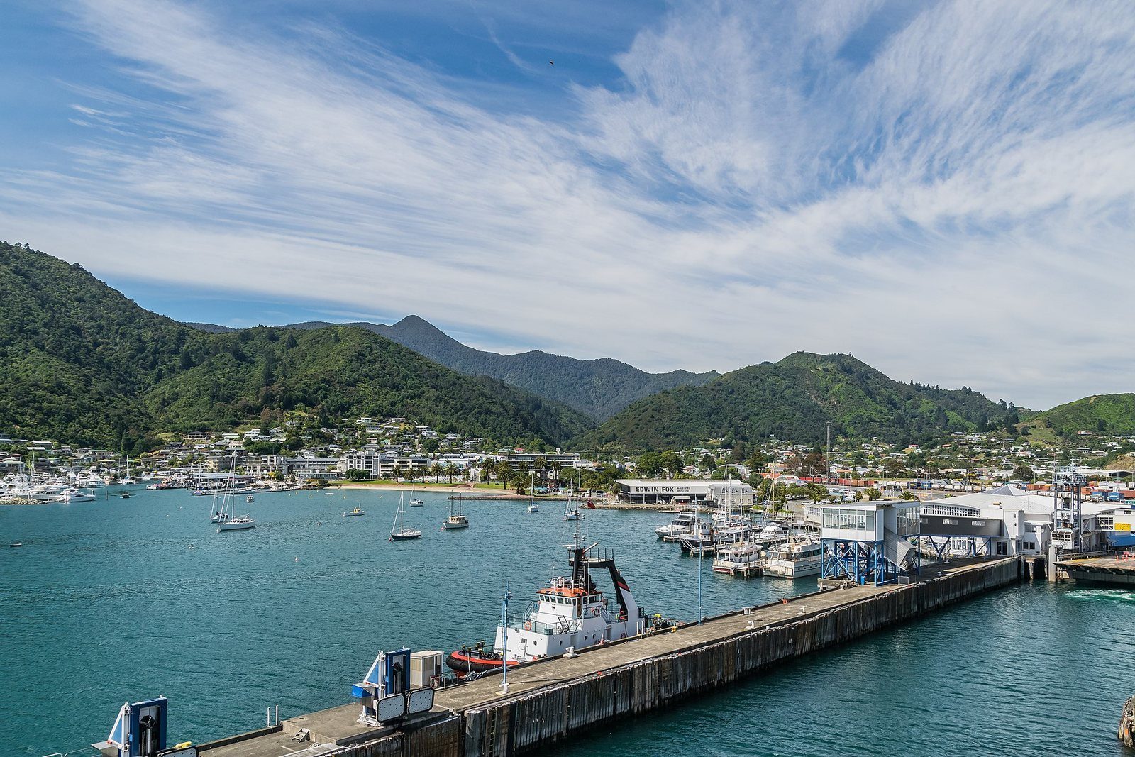
The climb from the edge of town to a hilltop lookout over Picton.
Photo: Mattinbgn / Wikimedia Commons, CC BY 3.0
About 2 km and 45 minutes one way from the Garden Terrace end of town up to a lookout over Picton and the harbour. Moderate.
The track at a glance
- Distance
- 2,021 m one way
- Time
- 45 min one way
- Grade
- Moderate (Marlborough District Council)
- Route
- One way to the lookout; return the same way
- Starts
- The Garden Terrace / Newgate Street area at the southern edge of Picton township (entry points as shown on the council map)
- Elevation gain
- Not published
- Dogs
- Not stated by the council for this track
- Bikes
- Not listed as a shared track, so treat it as walking only
- Cost
- Free
About Tirohanga Track
Tirohanga is the lookout walk on the town side of the harbour. It starts at the southern edge of Picton and climbs through bush to a hilltop with the town and Queen Charlotte Sound laid out below — the classic “bird's-eye view of Picton”.
The council's brochure gives one figure for it: 2,021 m one way, 45 minutes, graded Moderate. Other figures you may see online (1.2 km to the summit, or a 5.6 km loop) come from secondary sources and don't match the council's measurement.
Know before you go
- Graded Moderate; expect a steady climb.
- The council doesn't publish a dog rule for this track.
Sources for this page
Location: OpenStreetMap contributors via Nominatim (Tirohanga Track; feature).
Facts on this page were checked against the sources listed on 29 September 2026.
Something wrong or out of date? Tell us.
Nearby
Straight-line distances from Tirohanga Track.

Picton Library
The town's library and service centre, a block back from the foreshore.

Picton Foreshore
The lawn, the palms, the marina and the war memorial — where the town meets the water, and where everything starts.

Foreshore to Shelly Beach
Ten minutes from the waterfront, over the Coathanger Bridge, to a small beach.

Picton Heritage & Whaling Museum
Two thousand items of Māori, whaling and maritime history, on the site of the original Waitohi pā.
Eat nearby
Scoozi Woodfire Pizza
Lunch · Dinner · Takeaway · Mariners Mall, Shop 8/100 High Street, Picton 7220 · 1 km
Brew Crew
· 60 High Street, Picton 7220 · 1.1 km · Trading status not recently re-confirmed — check before you go
M & M's Takeaways
Takeaway · Lunch · Dinner · 83A High Street, Picton 7220 · 1.1 km
Hours and menus live on pictonrestaurants.co.nz, which shares our venue data.